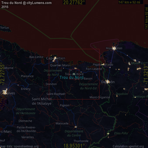
Trou du Nord night lights from space
Night Light of Trou du Nord (Nord-Est) from space (Haiti) Src. Average luminocity for 10x10km area is 0.9545% and for 50x50km: 0.4658%.
Analysis of Trou du Nord night lights 2016
Square area 10x10 km:
 0%
0%90-99
0%80-89
0%70-79
0%60-69
0%50-59
0.83%40-49
0%30-39
0%20-29
0.41%10-19
1.24%0-9
97.52%Square area 50x50 km:
0%90-99
0.06%80-89
0.06%70-79
0.06%60-69
0.06%50-59
0.15%40-49
0.04%30-39
0.18%20-29
0.03%10-19
0.08%0-9
99.25%Clear (daylight) street map image can be seen on geolist.org.
Map coordinates:
20° 16' 39.4" North, 72° 43' 39.2" West
19° 37' 0" North, 72° 1' 27.9" West
18° 57' 10.8" North, 71° 19' 16.7" West
Some cities around Trou du Nord sort by population:
• Okap
24.1 km =15 mi,  311°
311°
• Saint-Raphaël
27 km =16.8 mi,  222°
222°
• Fort Liberté
20.2 km =12.6 mi,  75°
75°
• Ouanaminthe
32.3 km =20.1 mi,  103°
103°
• Grande Rivière du Nord
15.7 km =9.8 mi,  253°
253°
• Pignon
32.7 km =20.3 mi,  197°
197°
• Milot
19.8 km =12.3 mi,  267°
267°
• Dondon
25 km =15.5 mi, 246°
3716224 (p: 10,569)
Sources (retrieved 2019-11-25):
» Earth at Night: Flat Maps 2012, 2016