Okap night lights from space
Night Light of Okap (Nord) from space (Haiti) Src. Average luminocity for 10x10km area is 7.2314% and for 50x50km: 0.4414%.
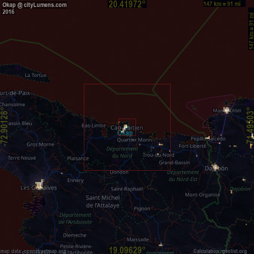
Analysis of Okap night lights 2016
Square area 10x10 km:
 0%
0%90-99
1.65%80-89
0.83%70-79
1.65%60-69
1.65%50-59
1.45%40-49
0.83%30-39
1.24%20-29
0.21%10-19
0%0-9
90.5%Square area 50x50 km:
0%90-99
0.06%80-89
0.06%70-79
0.06%60-69
0.06%50-59
0.14%40-49
0.04%30-39
0.15%20-29
0.03%10-19
0.08%0-9
99.3%Clear (daylight) street map image can be seen on geolist.org.
Map coordinates:
20° 25' 11" North, 72° 54' 4.6" West
19° 45' 33.8" North, 72° 11' 53.3" West
19° 5' 46.6" North, 71° 29' 42.1" West
Some cities around Okap sort by population:
• Saint-Raphaël
35.6 km =22.1 mi,  180°
180°
• Lenbe
22.3 km =13.9 mi,  254°
254°
• Fort Liberté
39.2 km =24.4 mi,  105°
105°
• Trou du Nord
24.1 km =15 mi,  131°
131°
• Grande Rivière du Nord
20.5 km =12.7 mi,  171°
171°
• Pignon
47.9 km =29.8 mi, 169°
• Milot
16.9 km =10.5 mi,  185°
185°
• Dondon
26.2 km =16.3 mi, 190°
3728474 (p: 134,815)
Sources (retrieved 2019-11-25):
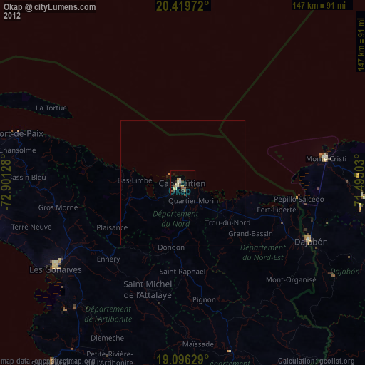
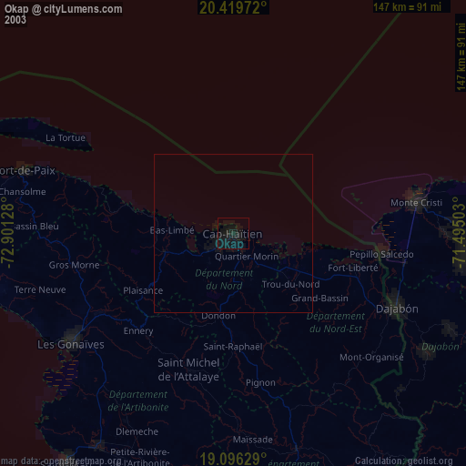
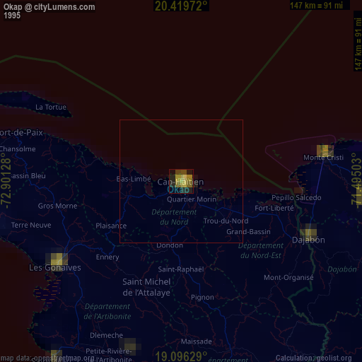
» NASA, Earths city lights 1995
» NASA city lights 2003
» Earth at Night: Flat Maps 2012, 2016