Mayisad night lights from space
Night Light of Mayisad (Centre) from space (Haiti) Src. Average luminocity for 10x10km area is 0% and for 50x50km: 0.071%.
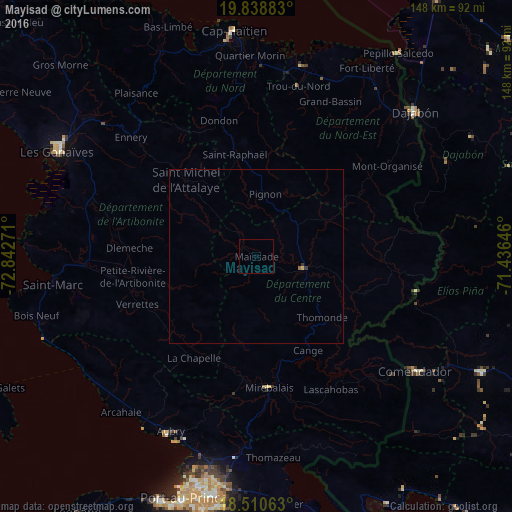
Analysis of Mayisad night lights 2016
Square area 10x10 km:
 0%
0%90-99
0%80-89
0%70-79
0%60-69
0%50-59
0%40-49
0%30-39
0%20-29
0%10-19
0%0-9
100%Square area 50x50 km:
0%90-99
0%80-89
0.02%70-79
0.01%60-69
0.02%50-59
0.01%40-49
0%30-39
0.06%20-29
0%10-19
0%0-9
99.87%Clear (daylight) street map image can be seen on geolist.org.
Map coordinates:
19° 50' 19.8" North, 72° 50' 33.8" West
19° 10' 33.9" North, 72° 8' 22.5" West
18° 30' 38.3" North, 71° 26' 11.3" West
Some cities around Mayisad sort by population:
• Verrettes
37 km =23 mi,  247°
247°
• Saint-Raphaël
29.9 km =18.6 mi,  347°
347°
• Hinche
13.2 km =8.2 mi,  102°
102°
• Désarmes
33.3 km =20.7 mi,  232°
232°
• Dessalines
40.7 km =25.3 mi,  283°
283°
• Mirebalais
38.1 km =23.7 mi,  174°
174°
• Pignon
17.9 km =11.1 mi,  7°
7°
• Dondon
40.5 km =25.2 mi,  344°
344°
3721711 (p: 5,204)
Sources (retrieved 2019-11-25):
» Earth at Night: Flat Maps 2012, 2016