Pignon night lights from space
Night Light of Pignon (Nord) from space (Haiti) Src. Average luminocity for 10x10km area is 0% and for 50x50km: 0.0716%.
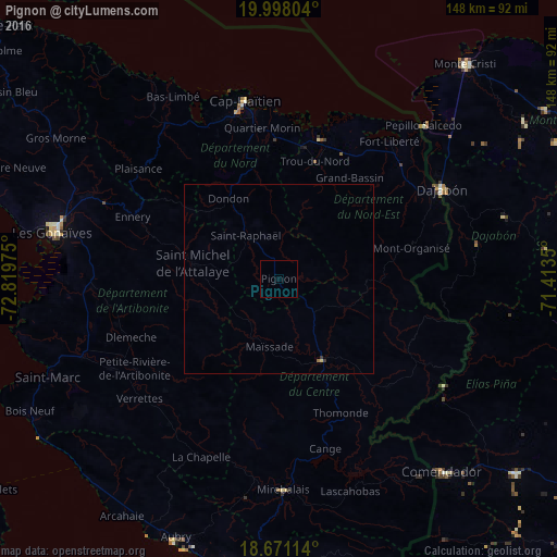
Analysis of Pignon night lights 2016
Square area 10x10 km:
 0%
0%90-99
0%80-89
0%70-79
0%60-69
0%50-59
0%40-49
0%30-39
0%20-29
0%10-19
0%0-9
100%Square area 50x50 km:
0%90-99
0%80-89
0.02%70-79
0.01%60-69
0.02%50-59
0.01%40-49
0%30-39
0.06%20-29
0%10-19
0%0-9
99.87%Clear (daylight) street map image can be seen on geolist.org.
Map coordinates:
19° 59' 52.9" North, 72° 49' 11.1" West
19° 20' 9.4" North, 72° 6' 59.8" West
18° 40' 16.1" North, 71° 24' 48.6" West
Some cities around Pignon sort by population:
• Saint-Raphaël
14.3 km =8.9 mi,  322°
322°
• Hinche
23.2 km =14.4 mi,  153°
153°
• Dessalines
42.7 km =26.5 mi,  258°
258°
• Trou du Nord
32.7 km =20.3 mi,  17°
17°
• Grande Rivière du Nord
27.4 km =17 mi,  348°
348°
• Milot
31.9 km =19.8 mi,  341°
341°
• Mayisad
17.9 km =11.1 mi,  187°
187°
• Dondon
25.1 km =15.6 mi,  328°
328°
3718834 (p: 6,731)
Sources (retrieved 2019-11-25):
» Earth at Night: Flat Maps 2012, 2016