Lenbe night lights from space
Night Light of Lenbe (Nord) from space (Haiti) Src. Average luminocity for 10x10km area is 0% and for 50x50km: 0.3212%.
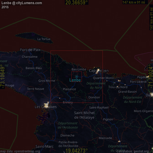
Analysis of Lenbe night lights 2016
Square area 10x10 km:
 0%
0%90-99
0%80-89
0%70-79
0%60-69
0%50-59
0%40-49
0%30-39
0%20-29
0%10-19
0%0-9
100%Square area 50x50 km:
0%90-99
0.06%80-89
0.03%70-79
0.06%60-69
0.06%50-59
0.06%40-49
0.06%30-39
0.06%20-29
0.01%10-19
0.02%0-9
99.56%Clear (daylight) street map image can be seen on geolist.org.
Map coordinates:
20° 21' 59.7" North, 73° 6' 23.4" West
19° 42' 21.7" North, 72° 24' 12.1" West
19° 2' 33.8" North, 71° 42' 0.9" West
Some cities around Lenbe sort by population:
• Okap
22.3 km =13.9 mi,  74°
74°
• Gonaïves
41.5 km =25.8 mi,  226°
226°
• Saint-Raphaël
36.6 km =22.7 mi,  144°
144°
• Trou du Nord
40.9 km =25.4 mi,  104°
104°
• Grande Rivière du Nord
28.4 km =17.6 mi,  120°
120°
• Gros Morne
29 km =18 mi,  262°
262°
• Milot
22.7 km =14.1 mi, 118°
• Dondon
26 km =16.2 mi, 139°
3722124 (p: 32,645)
Sources (retrieved 2019-11-25):
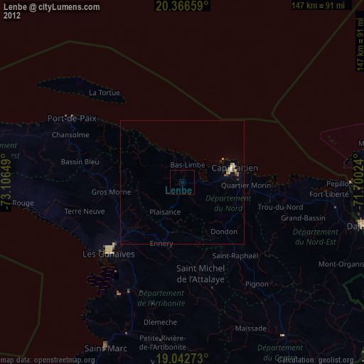
» Earth at Night: Flat Maps 2012, 2016