Mirebalais night lights from space
Night Light of Mirebalais (Centre) from space (Haiti) Src. Average luminocity for 10x10km area is 2.8312% and for 50x50km: 0.7869%.
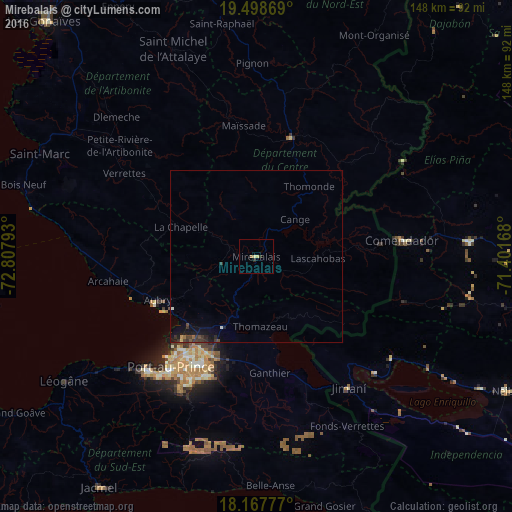
Analysis of Mirebalais night lights 2016
Square area 10x10 km:
 0%
0%90-99
0%80-89
1.73%70-79
0%60-69
0.65%50-59
0.22%40-49
0%30-39
1.08%20-29
0.65%10-19
0%0-9
95.67%Square area 50x50 km:
0%90-99
0.07%80-89
0.08%70-79
0.05%60-69
0.06%50-59
0.07%40-49
0.15%30-39
0.47%20-29
0.2%10-19
0.96%0-9
97.89%Clear (daylight) street map image can be seen on geolist.org.
Map coordinates:
19° 29' 55.3" North, 72° 48' 28.5" West
18° 50' 4.4" North, 72° 6' 17.3" West
18° 10' 4" North, 71° 24' 6" West
Some cities around Mirebalais sort by population:
• Delmas 73
38.4 km =23.9 mi,  212°
212°
• Croix-des-Bouquets
31.4 km =19.5 mi,  204°
204°
• Thomazeau
20.2 km =12.6 mi,  176°
176°
• Hinche
36.3 km =22.6 mi,  14°
14°
• Désarmes
34.9 km =21.7 mi,  300°
300°
• Lascahobas
17.8 km =11.1 mi,  91°
91°
• Cornillon
23.9 km =14.9 mi,  137°
137°
• Mayisad
38.1 km =23.7 mi,  354°
354°
3720811 (p: 9,082)
Sources (retrieved 2019-11-25):
» Earth at Night: Flat Maps 2012, 2016