Lascahobas night lights from space
Night Light of Lascahobas (Centre) from space (Haiti) Src. Average luminocity for 10x10km area is 0% and for 50x50km: 0.3394%.
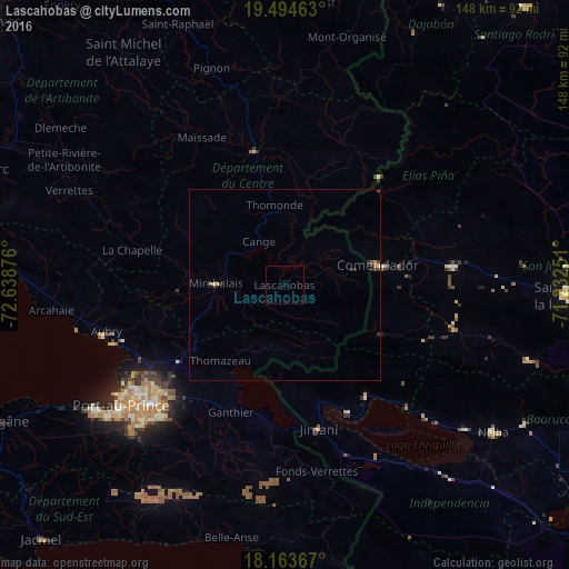
Analysis of Lascahobas night lights 2016
Square area 10x10 km:
 0%
0%90-99
0%80-89
0%70-79
0%60-69
0%50-59
0%40-49
0%30-39
0%20-29
0%10-19
0%0-9
100%Square area 50x50 km:
0.02%90-99
0.01%80-89
0.07%70-79
0.02%60-69
0.07%50-59
0.03%40-49
0.08%30-39
0.18%20-29
0.13%10-19
0.02%0-9
99.38%Clear (daylight) street map image can be seen on geolist.org.
Map coordinates:
19° 29' 40.7" North, 72° 38' 19.5" West
18° 49' 49.7" North, 71° 56' 8.3" West
18° 9' 49.2" North, 71° 13' 57" West
Some cities around Lascahobas sort by population:
• Thomazeau
25.8 km =16 mi,  220°
220°
• Hinche
36.5 km =22.7 mi,  346°
346°
• Fond Parisien
36.5 km =22.7 mi,  187°
187°
• Comendador, DO
25.1 km =15.6 mi,  77°
77°
• Mirebalais
17.8 km =11.1 mi,  271°
271°
• Cornillon
17.3 km =10.7 mi, 185°
• Jimaní, DO
38.7 km =24 mi,  166°
166°
• La Descubierta, DO
36.1 km =22.4 mi,  143°
143°
3722579 (p: 7,574)
Sources (retrieved 2019-11-25):
» Earth at Night: Flat Maps 2012, 2016