Thomazeau night lights from space
Night Light of Thomazeau (Ouest) from space (Haiti) Src. Average luminocity for 10x10km area is 0% and for 50x50km: 5.5538%.
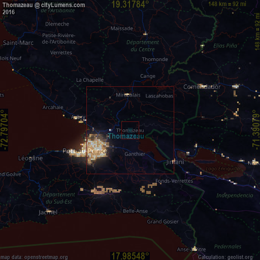
Analysis of Thomazeau night lights 2016
Square area 10x10 km:
 0%
0%90-99
0%80-89
0%70-79
0%60-69
0%50-59
0%40-49
0%30-39
0%20-29
0%10-19
0%0-9
100%Square area 50x50 km:
0.11%90-99
1.02%80-89
0.83%70-79
1.35%60-69
1.46%50-59
0.47%40-49
0.55%30-39
1.34%20-29
0.94%10-19
2.7%0-9
89.23%Clear (daylight) street map image can be seen on geolist.org.
Map coordinates:
19° 19' 4.2" North, 72° 47' 49.3" West
18° 39' 10.7" North, 72° 5' 38.1" West
17° 59' 7.7" North, 71° 23' 26.8" West
Some cities around Thomazeau sort by population:
• Port-au-Prince
28.5 km =17.7 mi,  244°
244°
• Delmas 73
25.1 km =15.6 mi, 241°
• Pétionville
25.5 km =15.8 mi,  232°
232°
• Croix-des-Bouquets
16.3 km =10.1 mi, 238°
• Fond Parisien
20.2 km =12.6 mi,  144°
144°
• Mirebalais
20.2 km =12.6 mi,  356°
356°
• Lascahobas
25.8 km =16 mi,  40°
40°
• Cornillon
15.1 km =9.4 mi,  80°
80°
3716667 (p: 52,017)
Sources (retrieved 2019-11-25):
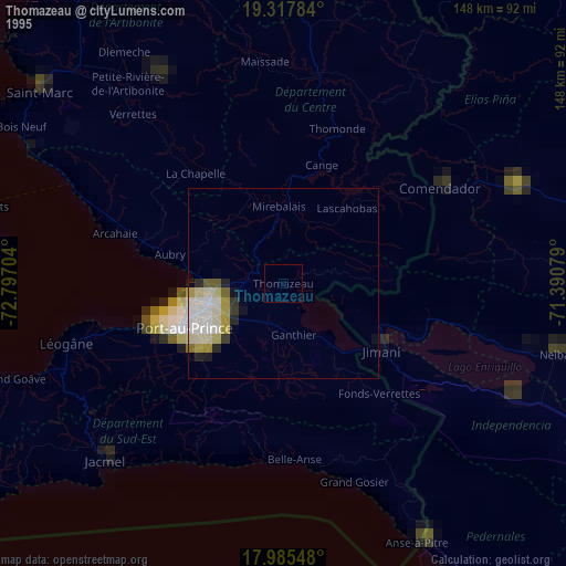
» NASA, Earths city lights 1995
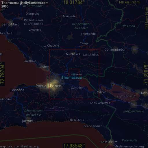
» NASA city lights 2003
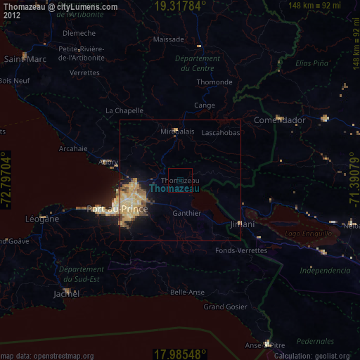
» Earth at Night: Flat Maps 2012, 2016