Hinche night lights from space
Night Light of Hinche (Centre) from space (Haiti) Src. Average luminocity for 10x10km area is 1.9091% and for 50x50km: 0.0723%.
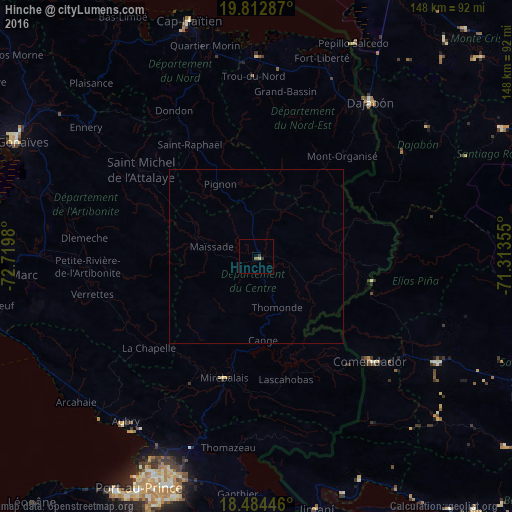
Analysis of Hinche night lights 2016
Square area 10x10 km:
 0%
0%90-99
0%80-89
0.65%70-79
0.22%60-69
0.65%50-59
0.22%40-49
0%30-39
1.73%20-29
0%10-19
0%0-9
96.54%Square area 50x50 km:
0%90-99
0%80-89
0.02%70-79
0.01%60-69
0.02%50-59
0.01%40-49
0%30-39
0.07%20-29
0%10-19
0%0-9
99.87%Clear (daylight) street map image can be seen on geolist.org.
Map coordinates:
19° 48' 46.3" North, 72° 43' 11.3" West
19° 9' 0" North, 72° 1' 0" West
18° 29' 4.1" North, 71° 18' 48.8" West
Some cities around Hinche sort by population:
• Saint-Raphaël
37.4 km =23.2 mi,  329°
329°
• Désarmes
43 km =26.7 mi,  246°
246°
• Comendador, DO
44.8 km =27.8 mi,  132°
132°
• Mirebalais
36.3 km =22.6 mi,  194°
194°
• Lascahobas
36.5 km =22.7 mi,  166°
166°
• Pignon
23.2 km =14.4 mi, 333°
• Mayisad
13.2 km =8.2 mi,  282°
282°
• Dondon
48.2 km =30 mi, 330°
3723841 (p: 18,590)
Sources (retrieved 2019-11-25):
» Earth at Night: Flat Maps 2012, 2016