Gros Morne night lights from space
Night Light of Gros Morne (Artibonite) from space (Haiti) Src. Average luminocity for 10x10km area is 0% and for 50x50km: 0.5525%.
Analysis of Gros Morne night lights 2016
Square area 10x10 km:
 0%
0%90-99
0%80-89
0%70-79
0%60-69
0%50-59
0%40-49
0%30-39
0%20-29
0%10-19
0%0-9
100%Square area 50x50 km:
0%90-99
0.14%80-89
0.11%70-79
0.11%60-69
0.06%50-59
0.03%40-49
0.04%30-39
0.11%20-29
0.02%10-19
0.11%0-9
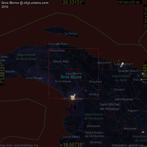
99.28%Clear (daylight) street map image can be seen on geolist.org.
Map coordinates:
20° 19' 53.4" North, 73° 22' 52.4" West
19° 40' 14.9" North, 72° 40' 41.1" West
19° 0' 26.5" North, 71° 58' 29.9" West
Some cities around Gros Morne sort by population:
• Port-de-Paix
33.9 km =21.1 mi,  331°
331°
• Gonaïves
24.9 km =15.5 mi,  182°
182°
• Ti Port-de-Paix
33.4 km =20.8 mi, 330°
• Lenbe
29 km =18 mi,  82°
82°
• Dessalines
48.5 km =30.1 mi,  159°
159°
• Saint-Louis du Nord
29.6 km =18.4 mi,  351°
351°
• Milot
49.2 km =30.6 mi,  98°
98°
• Dondon
48.2 km =30 mi,  109°
109°
3724145 (p: 7,294)
Sources (retrieved 2019-11-25):
» Earth at Night: Flat Maps 2012, 2016