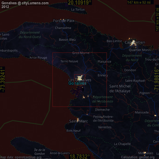
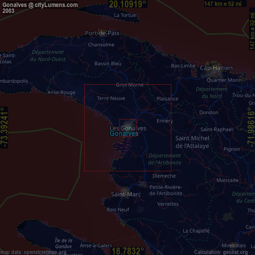
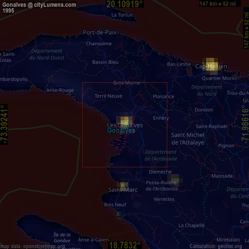
Gonaïves night lights from space
Night Light of Gonaïves (Artibonite) from space (Haiti) Src. Average luminocity for 10x10km area is 18.0248% and for 50x50km: 0.7825%.
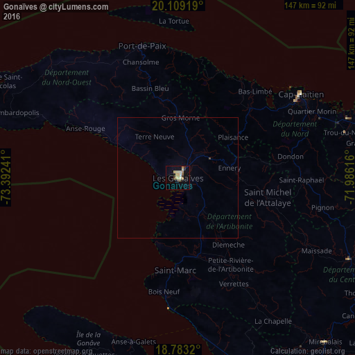
Analysis of Gonaïves night lights 2016
Square area 10x10 km:
 0%
0%90-99
3.51%80-89
4.55%70-79
4.34%60-69
1.65%50-59
1.03%40-49
2.48%30-39
2.69%20-29
0.41%10-19
2.89%0-9
76.45%Square area 50x50 km:
0%90-99
0.14%80-89
0.18%70-79
0.17%60-69
0.06%50-59
0.04%40-49
0.13%30-39
0.11%20-29
0.02%10-19
0.11%0-9
99.04%Clear (daylight) street map image can be seen on geolist.org.
Map coordinates:
20° 6' 33.1" North, 73° 23' 32.7" West
19° 26' 51.2" North, 72° 41' 21.4" West
18° 46' 59.5" North, 71° 59' 10.2" West
Some cities around Gonaïves sort by population:
• Saint-Marc
37.7 km =23.4 mi,  180°
180°
• Verrettes
50 km =31.1 mi,  152°
152°
• Saint-Raphaël
51.4 km =31.9 mi,  91°
91°
• Lenbe
41.5 km =25.8 mi,  46°
46°
• Dessalines
27.5 km =17.1 mi,  138°
138°
• Gros Morne
24.9 km =15.5 mi,  2°
2°
• Milot
53 km =32.9 mi,  70°
70°
• Dondon
47.6 km =29.6 mi,  79°
79°
3724696 (p: 84,961)
Sources (retrieved 2019-11-25):
» NASA, Earths city lights 1995
» NASA city lights 2003
» Earth at Night: Flat Maps 2012, 2016