Jimaní night lights from space
Night Light of Jimaní (Independencia) from space (Dominican Republic) Src. Average luminocity for 10x10km area is 2.2355% and for 50x50km: 1.0374%.
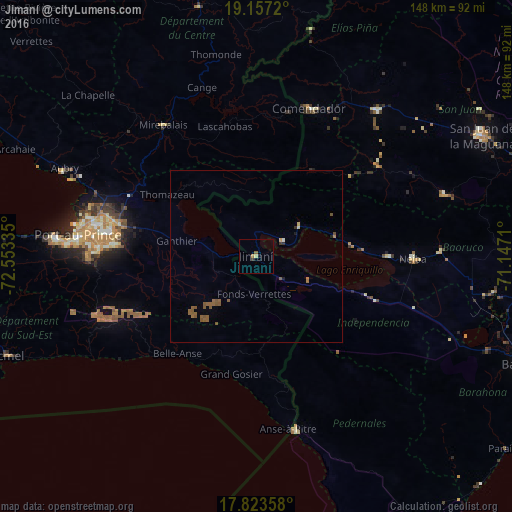
Analysis of Jimaní night lights 2016
Square area 10x10 km:
 0%
0%90-99
0%80-89
0.83%70-79
0%60-69
0.83%50-59
0.83%40-49
0%30-39
0.83%20-29
0%10-19
0%0-9
96.69%Square area 50x50 km:
0%90-99
0.03%80-89
0.06%70-79
0.07%60-69
0.17%50-59
0.9%40-49
0.09%30-39
0.11%20-29
0.07%10-19
0.08%0-9
98.41%Clear (daylight) street map image can be seen on geolist.org.
Map coordinates:
19° 9' 25.9" North, 72° 33' 12.1" West
18° 29' 30.1" North, 71° 51' 0.8" West
17° 49' 24.9" North, 71° 8' 49.6" West
Some cities around Jimaní sort by population:
• Croix-des-Bouquets, HT
40.8 km =25.4 mi,  283°
283°
• Thomazeau, HT
31.3 km =19.4 mi,  304°
304°
• Fond Parisien, HT
13.9 km =8.6 mi, 276°
• Duvergé
36.6 km =22.7 mi,  110°
110°
• Villa Jaragua
38.6 km =24 mi,  90°
90°
• Lascahobas, HT
38.7 km =24 mi,  346°
346°
• Cornillon, HT
23.1 km =14.4 mi,  332°
332°
• La Descubierta
15.4 km =9.6 mi,  55°
55°
3504077 (p: 6,567)
Sources (retrieved 2019-11-25):
» Earth at Night: Flat Maps 2012, 2016