Jean-Rabel night lights from space
Night Light of Jean-Rabel (Nord-Ouest) from space (Haiti) Src. Average luminocity for 10x10km area is 0% and for 50x50km: 0%.
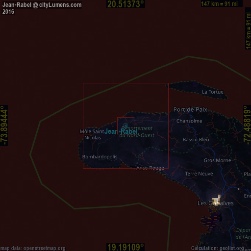
Analysis of Jean-Rabel night lights 2016
Square area 10x10 km:
 0%
0%90-99
0%80-89
0%70-79
0%60-69
0%50-59
0%40-49
0%30-39
0%20-29
0%10-19
0%0-9
100%Square area 50x50 km:
0%90-99
0%80-89
0%70-79
0%60-69
0%50-59
0%40-49
0%30-39
0%20-29
0%10-19
0%0-9
100%Clear (daylight) street map image can be seen on geolist.org.
Map coordinates:
20° 30' 49.4" North, 73° 53' 40" West
19° 51' 13.6" North, 73° 11' 28.7" West
19° 11' 27.9" North, 72° 29' 17.5" West
Some cities around Jean-Rabel sort by population:
• Port-de-Paix
38.9 km =24.2 mi,  75°
75°
• Gonaïves
69.3 km =43.1 mi,  130°
130°
• Saint-Marc
97.9 km =60.8 mi,  147°
147°
• Ti Port-de-Paix
38.5 km =23.9 mi, 76°
• Lenbe
84.1 km =52.3 mi,  101°
101°
• Dessalines
96.6 km =60 mi, 132°
• Saint-Louis du Nord
49.9 km =31 mi, 79°
• Gros Morne
57.4 km =35.7 mi,  110°
110°
3723618 (p: 5,419)
Sources (retrieved 2019-11-25):
» Earth at Night: Flat Maps 2012, 2016