Comayagua night lights from space
Night Light of Comayagua from space (Honduras) Src. Average luminocity for 10x10km area is 36.9091% and for 50x50km: 4.8198%.
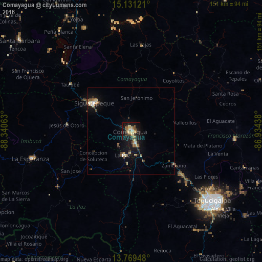
Analysis of Comayagua night lights 2016
Square area 10x10 km:
 1.3%
1.3%90-99
4.76%80-89
8.87%70-79
6.71%60-69
4.33%50-59
6.71%40-49
4.11%30-39
6.49%20-29
11.26%10-19
35.28%0-9
10.17%Square area 50x50 km:
0.3%90-99
0.68%80-89
0.73%70-79
0.63%60-69
0.49%50-59
0.69%40-49
0.6%30-39
0.93%20-29
0.91%10-19
4.6%0-9
89.44%Clear (daylight) street map image can be seen on geolist.org.
Map coordinates:
15° 7' 52.4" North, 88° 20' 26.3" West
14° 27' 5" North, 87° 38' 15" West
13° 46' 10.1" North, 86° 56' 3.8" West
Some cities around Comayagua sort by population:
• Siguatepeque
26.8 km =16.7 mi,  308°
308°
• La Paz
15.3 km =9.5 mi,  197°
197°
• Intibucá
58.9 km =36.6 mi,  255°
255°
• Talanga
59.9 km =37.2 mi,  95°
95°
• Marcala
54.2 km =33.7 mi,  231°
231°
• Jesús de Otoro
37.4 km =23.2 mi,  275°
275°
• Villa de San Antonio
15.1 km =9.4 mi,  171°
171°
• Ajuterique
10.1 km =6.3 mi,  221°
221°
3613321 (p: 58,784)
Sources (retrieved 2019-11-25):
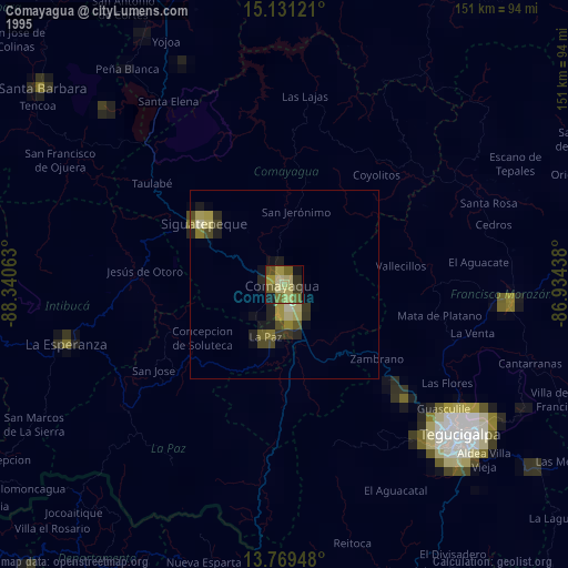
» NASA, Earths city lights 1995
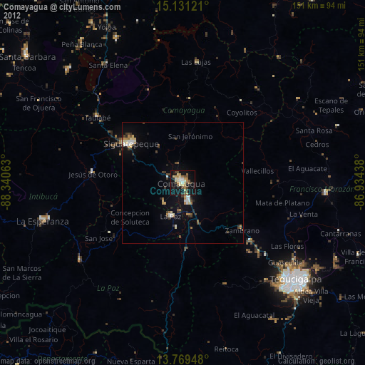
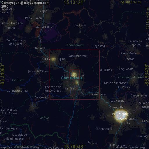
» NASA city lights 2003
» Earth at Night: Flat Maps 2012, 2016