Puerto Lempira night lights from space
Night Light of Puerto Lempira (Gracias a Dios) from space (Honduras) Src. Average luminocity for 10x10km area is 0% and for 50x50km: 0%.
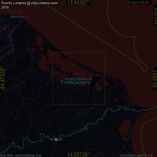
Analysis of Puerto Lempira night lights 2016
Square area 10x10 km:
 0%
0%90-99
0%80-89
0%70-79
0%60-69
0%50-59
0%40-49
0%30-39
0%20-29
0%10-19
0%0-9
100%Square area 50x50 km:
0%90-99
0%80-89
0%70-79
0%60-69
0%50-59
0%40-49
0%30-39
0%20-29
0%10-19
0%0-9
100%Clear (daylight) street map image can be seen on geolist.org.
Map coordinates:
15° 56' 37.9" North, 84° 28' 31.3" West
15° 16' 0" North, 83° 46' 20" West
14° 35' 14.2" North, 83° 4' 8.8" West
Some cities around Puerto Lempira sort by population:
• Juticalpa
271.2 km =168.5 mi,  255°
255°
• Tocoa
243.2 km =151.1 mi,  280°
280°
• Siuna, NI
201.9 km =125.5 mi,  212°
212°
• Sabá
266.6 km =165.7 mi,  274°
274°
• Trujillo
244.6 km =152 mi,  287°
287°
• Waspán, NI
62.2 km =38.6 mi,  200°
200°
• Bonanza, NI
163.4 km =101.5 mi, 212°
• San Francisco de la Paz
263.8 km =163.9 mi, 261°
3603157 (p: 4,856)
Sources (retrieved 2019-11-25):
» Earth at Night: Flat Maps 2012, 2016