Nacaome night lights from space
Night Light of Nacaome (Valle) from space (Honduras) Src. Average luminocity for 10x10km area is 4.5475% and for 50x50km: 0.9124%.
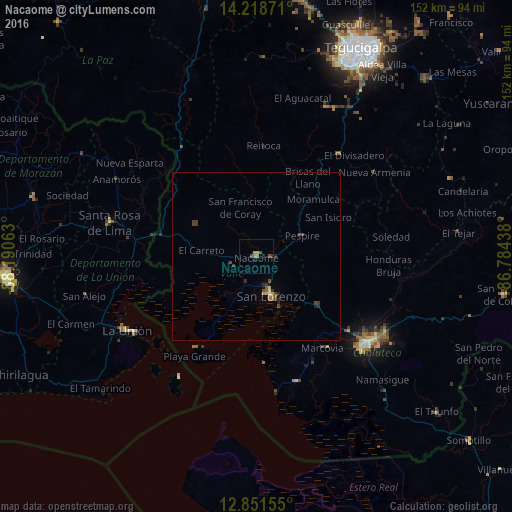
Analysis of Nacaome night lights 2016
Square area 10x10 km:
 0%
0%90-99
0%80-89
0%70-79
1.45%60-69
1.45%50-59
0.41%40-49
2.27%30-39
0.62%20-29
0.83%10-19
0.41%0-9
92.56%Square area 50x50 km:
0%90-99
0.03%80-89
0.07%70-79
0.14%60-69
0.17%50-59
0.1%40-49
0.42%30-39
0.31%20-29
0.26%10-19
0.08%0-9
98.4%Clear (daylight) street map image can be seen on geolist.org.
Map coordinates:
14° 13' 7.4" North, 88° 11' 26.3" West
13° 32' 10" North, 87° 29' 15" West
12° 51' 5.6" North, 86° 47' 3.8" West
Some cities around Nacaome sort by population:
• Tegucigalpa
67.8 km =42.1 mi,  26°
26°
• Ciudad Choluteca
41.4 km =25.7 mi,  129°
129°
• La Unión, SV
44.5 km =27.7 mi,  240°
240°
• San Lorenzo
13.2 km =8.2 mi,  160°
160°
• Santa Rosa de Lima, SV
45 km =28 mi,  282°
282°
• La Alianza
25.8 km =16 mi,  264°
264°
• Monjarás
39.3 km =24.4 mi, 161°
• San Alejo, SV
52.7 km =32.7 mi, 257°
3604522 (p: 13,929)
Sources (retrieved 2019-11-25):
» Earth at Night: Flat Maps 2012, 2016