Zacapa night lights from space
Night Light of Zacapa from space (Guatemala) Src. Average luminocity for 10x10km area is 20.6674% and for 50x50km: 2.32%.
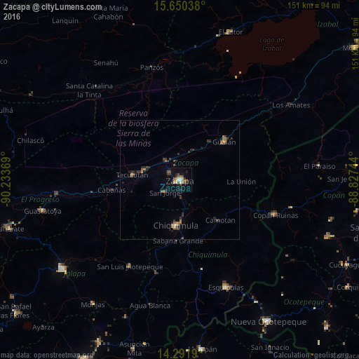
Analysis of Zacapa night lights 2016
Square area 10x10 km:
 0.83%
0.83%90-99
2.89%80-89
3.72%70-79
1.24%60-69
1.24%50-59
5.58%40-49
4.34%30-39
3.72%20-29
3.51%10-19
11.78%0-9
61.16%Square area 50x50 km:
0.03%90-99
0.15%80-89
0.24%70-79
0.18%60-69
0.41%50-59
0.52%40-49
0.58%30-39
0.75%20-29
0.67%10-19
0.77%0-9
95.69%Clear (daylight) street map image can be seen on geolist.org.
Map coordinates:
15° 39' 1.4" North, 90° 14' 1.3" West
14° 58' 20" North, 89° 31' 50" West
14° 17' 30.8" North, 88° 49' 38.8" West
Some cities around Zacapa sort by population:
• Chiquimula
19.2 km =11.9 mi,  184°
184°
• Gualán
24.8 km =15.4 mi,  48°
48°
• San Luis Jilotepeque
41.9 km =26 mi,  211°
211°
• Estanzuela
5 km =3.1 mi,  308°
308°
• Teculután
20 km =12.4 mi,  273°
273°
• Copán, HN
43.7 km =27.2 mi,  110°
110°
• Río Hondo
11.9 km =7.4 mi,  331°
331°
• Ipala
40.6 km =25.2 mi,  193°
193°
3587587 (p: 36,088)
Sources (retrieved 2019-11-25):
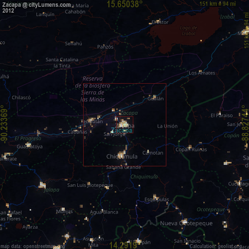
» Earth at Night: Flat Maps 2012, 2016