Teculután night lights from space
Night Light of Teculután (Zacapa) from space (Guatemala) Src. Average luminocity for 10x10km area is 5.1674% and for 50x50km: 2.0279%.
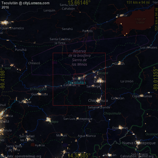
Analysis of Teculután night lights 2016
Square area 10x10 km:
 0%
0%90-99
0%80-89
0%70-79
0.83%60-69
1.24%50-59
2.07%40-49
0%30-39
1.65%20-29
3.93%10-19
2.69%0-9
87.6%Square area 50x50 km:
0.03%90-99
0.15%80-89
0.23%70-79
0.12%60-69
0.36%50-59
0.41%40-49
0.49%30-39
0.61%20-29
0.66%10-19
0.71%0-9
96.21%Clear (daylight) street map image can be seen on geolist.org.
Map coordinates:
15° 39' 41.3" North, 90° 25' 11.3" West
14° 58' 60" North, 89° 43' 0" West
14° 18' 11" North, 89° 0' 48.8" West
Some cities around Teculután sort by population:
• Chiquimula
27.4 km =17 mi,  137°
137°
• Zacapa
20 km =12.4 mi,  93°
93°
• Gualán
41.5 km =25.8 mi,  68°
68°
• Guastatoya
40.5 km =25.2 mi,  249°
249°
• San Agustín Acasaguastlán
27.1 km =16.8 mi,  262°
262°
• San Luis Jilotepeque
37.1 km =23.1 mi,  182°
182°
• Estanzuela
16.2 km =10.1 mi,  83°
83°
• Río Hondo
17.1 km =10.6 mi,  57°
57°
3588469 (p: 6,407)
Sources (retrieved 2019-11-25):
» Earth at Night: Flat Maps 2012, 2016