Santiago Atitlán night lights from space
Night Light of Santiago Atitlán (Sololá) from space (Guatemala) Src. Average luminocity for 10x10km area is 2.5823% and for 50x50km: 2.1654%.
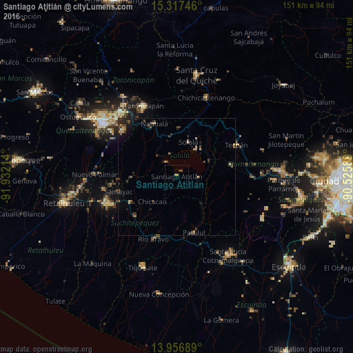
Analysis of Santiago Atitlán night lights 2016
Square area 10x10 km:
 0%
0%90-99
0%80-89
0.87%70-79
0.87%60-69
0.65%50-59
0.43%40-49
0.65%30-39
0%20-29
0%10-19
0%0-9
96.54%Square area 50x50 km:
0%90-99
0.02%80-89
0.36%70-79
0.32%60-69
0.33%50-59
0.29%40-49
0.52%30-39
0.69%20-29
0.84%10-19
1.22%0-9
95.41%Clear (daylight) street map image can be seen on geolist.org.
Map coordinates:
15° 19' 2.9" North, 91° 55' 55.7" West
14° 38' 17.6" North, 91° 13' 44.4" West
13° 57' 24.8" North, 90° 31' 33.2" West
Some cities around Santiago Atitlán sort by population:
• Sololá
15.7 km =9.8 mi,  18°
18°
• Chicacao
14.9 km =9.3 mi,  224°
224°
• San Lucas Tolimán
10.1 km =6.3 mi,  118°
118°
• Panajachel
13.9 km =8.6 mi,  33°
33°
• San Pedro La Laguna
7.6 km =4.7 mi,  322°
322°
• Santo Tomás La Unión
19.6 km =12.2 mi,  268°
268°
• San Pablo La Laguna
10.3 km =6.4 mi,  333°
333°
• Santa Clara La Laguna
11.7 km =7.3 mi, 316°
3589105 (p: 33,309)
Sources (retrieved 2019-11-25):
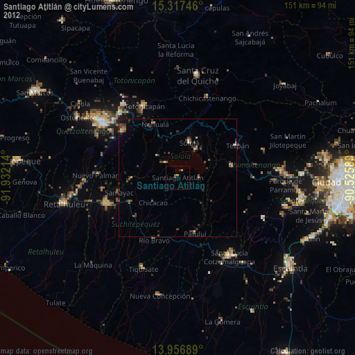
» Earth at Night: Flat Maps 2012, 2016