Chicacao night lights from space
Night Light of Chicacao (Suchitepeque) from space (Guatemala) Src. Average luminocity for 10x10km area is 0.6558% and for 50x50km: 2.7616%.
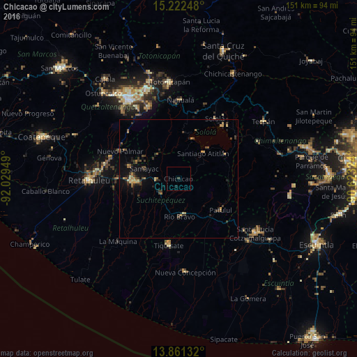
Analysis of Chicacao night lights 2016
Square area 10x10 km:
 0%
0%90-99
0%80-89
0%70-79
0%60-69
0%50-59
0%40-49
0.65%30-39
0.22%20-29
0.87%10-19
0%0-9
98.27%Square area 50x50 km:
0%90-99
0.02%80-89
0.47%70-79
0.53%60-69
0.43%50-59
0.39%40-49
0.57%30-39
0.71%20-29
0.79%10-19
1.95%0-9
94.13%Clear (daylight) street map image can be seen on geolist.org.
Map coordinates:
15° 13' 20.9" North, 92° 1' 46.2" West
14° 32' 34.6" North, 91° 19' 34.9" West
13° 51' 40.8" North, 90° 37' 23.7" West
Some cities around Chicacao sort by population:
• Santiago Atitlán
14.9 km =9.3 mi,  44°
44°
• San Pablo Jocopilas
14.4 km =8.9 mi,  290°
290°
• Santa Bárbara
16 km =9.9 mi,  138°
138°
• San Antonio Suchitepéquez
9.5 km =5.9 mi,  267°
267°
• Samayac
15.1 km =9.4 mi, 286°
• Río Bravo
15.9 km =9.9 mi,  176°
176°
• Santo Tomás La Unión
13.5 km =8.4 mi,  317°
317°
• San Bernardino
14.2 km =8.8 mi, 269°
3598678 (p: 20,426)
Sources (retrieved 2019-11-25):
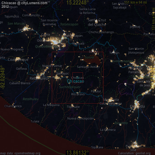
» Earth at Night: Flat Maps 2012, 2016