San Juan Chamelco night lights from space
Night Light of San Juan Chamelco (Alta Verapaz) from space (Guatemala) Src. Average luminocity for 10x10km area is 10.2446% and for 50x50km: 1.2447%.
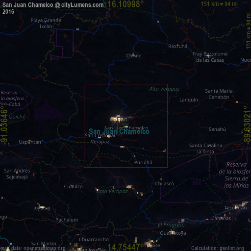
Analysis of San Juan Chamelco night lights 2016
Square area 10x10 km:
 1.73%
1.73%90-99
1.73%80-89
0.43%70-79
0.43%60-69
2.38%50-59
1.52%40-49
1.08%30-39
2.38%20-29
0%10-19
4.76%0-9
83.55%Square area 50x50 km:
0.08%90-99
0.16%80-89
0.08%70-79
0.18%60-69
0.34%50-59
0.17%40-49
0.09%30-39
0.33%20-29
0.05%10-19
0.46%0-9
98.05%Clear (daylight) street map image can be seen on geolist.org.
Map coordinates:
16° 6' 35.9" North, 91° 2' 11.3" West
15° 25' 60" North, 90° 19' 60" West
14° 45' 16.1" North, 89° 37' 48.8" West
Some cities around San Juan Chamelco sort by population:
• Cobán
5.8 km =3.6 mi,  316°
316°
• Salamá
36.8 km =22.9 mi,  177°
177°
• San Cristóbal Verapaz
25.2 km =15.7 mi,  260°
260°
• San Miguel Chicaj
38.2 km =23.7 mi,  189°
189°
• San Pedro Carchá
9.1 km =5.7 mi,  52°
52°
• Tactic
12.6 km =7.8 mi, 190°
• Santa Cruz Verapaz
13 km =8.1 mi,  235°
235°
• Purulhá
23.4 km =14.5 mi,  142°
142°
3589917 (p: 11,944)
Sources (retrieved 2019-11-25):
» Earth at Night: Flat Maps 2012, 2016