San Cristóbal Verapaz night lights from space
Night Light of San Cristóbal Verapaz (Alta Verapaz) from space (Guatemala) Src. Average luminocity for 10x10km area is 0% and for 50x50km: 1.0847%.
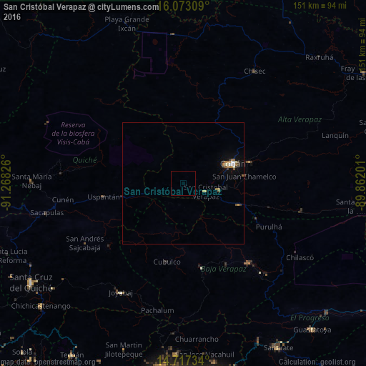
Analysis of San Cristóbal Verapaz night lights 2016
Square area 10x10 km:
 0%
0%90-99
0%80-89
0%70-79
0%60-69
0%50-59
0%40-49
0%30-39
0%20-29
0%10-19
0%0-9
100%Square area 50x50 km:
0.08%90-99
0.16%80-89
0.08%70-79
0.15%60-69
0.34%50-59
0.15%40-49
0.01%30-39
0.23%20-29
0.03%10-19
0.35%0-9
98.41%Clear (daylight) street map image can be seen on geolist.org.
Map coordinates:
16° 4' 23.1" North, 91° 16' 5.7" West
15° 23' 46.8" North, 90° 33' 54.5" West
14° 43' 2.4" North, 89° 51' 43.2" West
Some cities around San Cristóbal Verapaz sort by population:
• Cobán
22.4 km =13.9 mi,  68°
68°
• San Miguel Chicaj
38.2 km =23.7 mi,  151°
151°
• San Pedro Carchá
33.4 km =20.8 mi, 73°
• San Juan Chamelco
25.2 km =15.7 mi,  80°
80°
• Rabinal
35.4 km =22 mi,  167°
167°
• Cubulco
33.2 km =20.6 mi,  191°
191°
• Tactic
24 km =14.9 mi,  110°
110°
• Santa Cruz Verapaz
14.5 km =9 mi,  103°
103°
3590316 (p: 19,664)
Sources (retrieved 2019-11-25):
» Earth at Night: Flat Maps 2012, 2016