Salamá night lights from space
Night Light of Salamá (Baja Verapaz) from space (Guatemala) Src. Average luminocity for 10x10km area is 3.7314% and for 50x50km: 0.4151%.
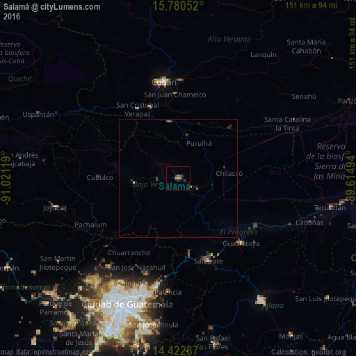

Analysis of Salamá night lights 2016
Square area 10x10 km:
 0%
0%90-99
0%80-89
0%70-79
0%60-69
2.48%50-59
0.62%40-49
0.62%30-39
2.07%20-29
0.83%10-19
1.03%0-9
92.36%Square area 50x50 km:
0%90-99
0.03%80-89
0.03%70-79
0.03%60-69
0.1%50-59
0.09%40-49
0.06%30-39
0.23%20-29
0.15%10-19
0.17%0-9
99.1%Clear (daylight) street map image can be seen on geolist.org.
Map coordinates:
15° 46' 49.9" North, 91° 1' 16.3" West
15° 6' 10" North, 90° 19' 5" West
14° 25' 22.3" North, 89° 36' 53.8" West
Some cities around Salamá sort by population:
• San Miguel Chicaj
8.2 km =5.1 mi,  263°
263°
• San Juan Chamelco
36.8 km =22.9 mi,  357°
357°
• Rabinal
18.8 km =11.7 mi, 264°
• Cubulco
33.3 km =20.7 mi,  270°
270°
• Tactic
24.7 km =15.3 mi,  350°
350°
• San Jerónimo
9.6 km =6 mi,  119°
119°
• Santa Cruz Verapaz
31.8 km =19.8 mi,  337°
337°
• Purulhá
22.2 km =13.8 mi,  34°
34°
3590616 (p: 40,000)
Sources (retrieved 2019-11-25):
» Earth at Night: Flat Maps 2012, 2016