Cobán night lights from space
Night Light of Cobán (Alta Verapaz) from space (Guatemala) Src. Average luminocity for 10x10km area is 21.5541% and for 50x50km: 1.2138%.
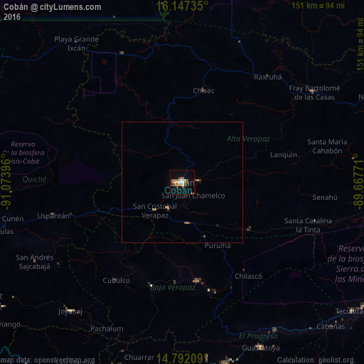
Analysis of Cobán night lights 2016
Square area 10x10 km:
 2.16%
2.16%90-99
4.11%80-89
1.73%70-79
1.73%60-69
6.71%50-59
2.16%40-49
0.43%30-39
5.19%20-29
0.65%10-19
9.52%0-9
65.58%Square area 50x50 km:
0.08%90-99
0.16%80-89
0.08%70-79
0.18%60-69
0.34%50-59
0.17%40-49
0.09%30-39
0.27%20-29
0.04%10-19
0.43%0-9
98.15%Clear (daylight) street map image can be seen on geolist.org.
Map coordinates:
16° 8' 50.5" North, 91° 4' 26.3" West
15° 28' 15" North, 90° 22' 15" West
14° 47' 31.5" North, 89° 40' 3.8" West
Some cities around Cobán sort by population:
• Salamá
41.3 km =25.7 mi,  172°
172°
• San Cristóbal Verapaz
22.4 km =13.9 mi,  248°
248°
• Chisec
39.6 km =24.6 mi,  13°
13°
• San Pedro Carchá
11.2 km =7 mi,  82°
82°
• San Juan Chamelco
5.8 km =3.6 mi,  136°
136°
• Tactic
16.6 km =10.3 mi, 173°
• Santa Cruz Verapaz
13.4 km =8.3 mi,  210°
210°
• Purulhá
29.2 km =18.1 mi, 141°
3598119 (p: 53,375)
Sources (retrieved 2019-11-25):
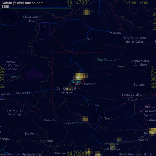
» NASA, Earths city lights 1995
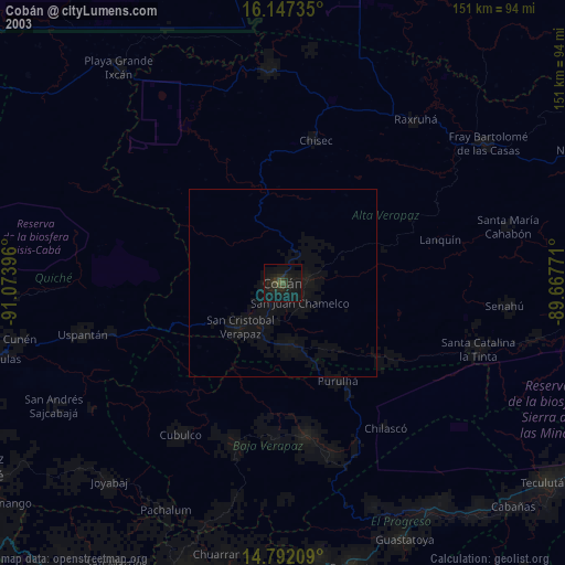
» NASA city lights 2003
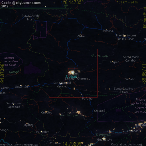
» Earth at Night: Flat Maps 2012, 2016