Rabinal night lights from space
Night Light of Rabinal (Baja Verapaz) from space (Guatemala) Src. Average luminocity for 10x10km area is 1.0785% and for 50x50km: 0.2933%.
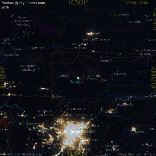
Analysis of Rabinal night lights 2016
Square area 10x10 km:
 0%
0%90-99
0.83%80-89
0%70-79
0%60-69
0%50-59
0%40-49
0%30-39
0%20-29
0.83%10-19
0%0-9
98.35%Square area 50x50 km:
0%90-99
0.03%80-89
0.03%70-79
0%60-69
0.1%50-59
0.02%40-49
0.06%30-39
0.12%20-29
0.15%10-19
0.09%0-9
99.4%Clear (daylight) street map image can be seen on geolist.org.
Map coordinates:
15° 45' 47.2" North, 91° 11' 44.4" West
15° 5' 7.1" North, 90° 29' 33.2" West
14° 24' 19.2" North, 89° 47' 21.9" West
Some cities around Rabinal sort by population:
• San Pedro Ayampuc
34.3 km =21.3 mi,  172°
172°
• Salamá
18.8 km =11.7 mi,  84°
84°
• San Miguel Chicaj
10.6 km =6.6 mi, 84°
• Cubulco
14.8 km =9.2 mi,  278°
278°
• Tactic
30.2 km =18.8 mi,  29°
29°
• San Jerónimo
27.2 km =16.9 mi,  95°
95°
• Chuarrancho
29.8 km =18.5 mi,  184°
184°
• Santa Cruz Verapaz
31.9 km =19.8 mi,  11°
11°
3590924 (p: 10,737)
Sources (retrieved 2019-11-25):
» Earth at Night: Flat Maps 2012, 2016