Moyuta night lights from space
Night Light of Moyuta (Jutiapa) from space (Guatemala) Src. Average luminocity for 10x10km area is 0.8225% and for 50x50km: 0.7184%.
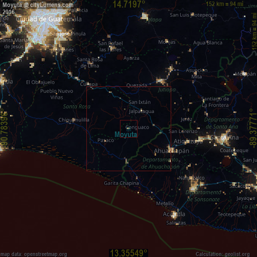
Analysis of Moyuta night lights 2016
Square area 10x10 km:
 0%
0%90-99
0%80-89
0%70-79
0%60-69
0.87%50-59
0%40-49
0%30-39
0.22%20-29
0.65%10-19
0%0-9
98.27%Square area 50x50 km:
0%90-99
0.03%80-89
0.1%70-79
0.14%60-69
0.1%50-59
0.13%40-49
0.2%30-39
0.25%20-29
0.18%10-19
0.06%0-9
98.81%Clear (daylight) street map image can be seen on geolist.org.
Map coordinates:
14° 43' 10.9" North, 90° 47' 2.3" West
14° 2' 19" North, 90° 4' 51" West
13° 21' 19.8" North, 89° 22' 39.8" West
Some cities around Moyuta sort by population:
• Jutiapa
34.5 km =21.4 mi,  35°
35°
• Ahuachapán, SV
28.6 km =17.8 mi,  117°
117°
• Chiquimulilla
33.2 km =20.6 mi,  278°
278°
• Jalpatagua
13.9 km =8.6 mi,  34°
34°
• Oratorio
23.4 km =14.5 mi,  334°
334°
• Concepción de Ataco, SV
31.3 km =19.4 mi,  126°
126°
• San José Acatempa
25.7 km =16 mi,  348°
348°
• Tacuba, SV
22.4 km =13.9 mi, 133°
3592322 (p: 8,145)
Sources (retrieved 2019-11-25):
» Earth at Night: Flat Maps 2012, 2016