Antigua Guatemala night lights from space
Night Light of Antigua Guatemala (Sacatepéquez) from space (Guatemala) Src. Average luminocity for 10x10km area is 32.3095% and for 50x50km: 24.0129%.
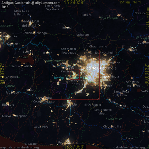
Analysis of Antigua Guatemala night lights 2016
Square area 10x10 km:
 0%
0%90-99
2.6%80-89
2.6%70-79
5.41%60-69
9.09%50-59
9.31%40-49
2.6%30-39
5.84%20-29
5.84%10-19
56.28%0-9
0.43%Square area 50x50 km:
4.6%90-99
4.64%80-89
3.28%70-79
2.62%60-69
3.64%50-59
2.86%40-49
2.88%30-39
2.94%20-29
4.43%10-19
12.49%0-9
55.62%Clear (daylight) street map image can be seen on geolist.org.
Map coordinates:
15° 14' 26.1" North, 91° 26' 15.3" West
14° 33' 40" North, 90° 44' 4" West
13° 52' 46.3" North, 90° 1' 52.8" West
Some cities around Antigua Guatemala sort by population:
• Ciudad Vieja
5.2 km =3.2 mi,  216°
216°
• Jocotenango
1.9 km =1.2 mi,  348°
348°
• Santa María de Jesús
7.8 km =4.8 mi,  160°
160°
• Santa Lucía Milpas Altas
6.5 km =4 mi,  74°
74°
• Pastores
4.3 km =2.7 mi,  329°
329°
• San Antonio Aguas Calientes
5.2 km =3.2 mi,  252°
252°
• San Bartolomé Milpas Altas
7.9 km =4.9 mi,  49°
49°
• Magdalena Milpas Altas
6.6 km =4.1 mi,  102°
102°
3599699 (p: 39,368)
Sources (retrieved 2019-11-25):
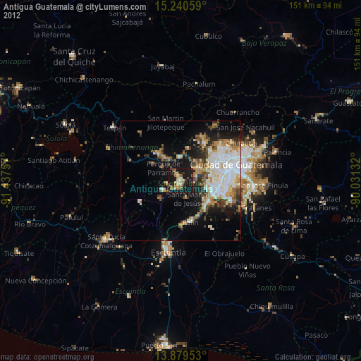
» Earth at Night: Flat Maps 2012, 2016