Benque Viejo el Carmen night lights from space
Night Light of Benque Viejo el Carmen (Cayo) from space (Belize) Src. Average luminocity for 10x10km area is 12.0216% and for 50x50km: 1.8182%.
Analysis of Benque Viejo el Carmen night lights 2016
Square area 10x10 km:
 0%
0%90-99
0.43%80-89
5.41%70-79
2.81%60-69
0.87%50-59
0%40-49
0.87%30-39
2.38%20-29
1.73%10-19
0.43%0-9
85.06%Square area 50x50 km:
0.01%90-99
0.06%80-89
0.47%70-79
0.43%60-69
0.11%50-59
0.13%40-49
0.36%30-39
0.43%20-29
0.31%10-19
0.71%0-9
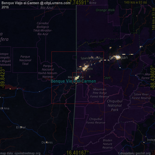
96.97%Clear (daylight) street map image can be seen on geolist.org.
Map coordinates:
17° 44' 45.3" North, 89° 50' 32.3" West
17° 4' 30" North, 89° 8' 21" West
16° 24' 6" North, 88° 26' 9.8" West
Some cities around Benque Viejo el Carmen sort by population:
• San Benito, GT
84.8 km =52.7 mi,  258°
258°
• Flores, GT
82.6 km =51.3 mi, 258°
• San Ignacio
11.9 km =7.4 mi,  38°
38°
• Belmopan
44.1 km =27.4 mi,  63°
63°
• Melchor de Mencos, GT
1.7 km =1.1 mi,  234°
234°
• Dolores, GT
69.3 km =43.1 mi,  205°
205°
• Santa Ana, GT
79.9 km =49.6 mi,  247°
247°
• San Andrés, GT
83.5 km =51.9 mi, 261°
3582662 (p: 7,092)
Sources (retrieved 2019-11-25):
» Earth at Night: Flat Maps 2012, 2016