Chisec night lights from space
Night Light of Chisec (Alta Verapaz) from space (Guatemala) Src. Average luminocity for 10x10km area is 0.9177% and for 50x50km: 0.0495%.
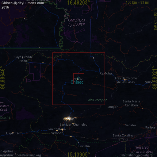
Analysis of Chisec night lights 2016
Square area 10x10 km:
 0%
0%90-99
0%80-89
0%70-79
0%60-69
0%50-59
0%40-49
0.87%30-39
0.87%20-29
0.87%10-19
0%0-9
97.4%Square area 50x50 km:
0%90-99
0%80-89
0%70-79
0%60-69
0%50-59
0%40-49
0.07%30-39
0.03%20-29
0.03%10-19
0%0-9
99.87%Clear (daylight) street map image can be seen on geolist.org.
Map coordinates:
16° 29' 31.3" North, 90° 59' 11.3" West
15° 49' 0" North, 90° 16' 60" West
15° 8' 20.6" North, 89° 34' 48.8" West
Some cities around Chisec sort by population:
• Cobán
39.6 km =24.6 mi,  193°
193°
• San Cristóbal Verapaz
55.6 km =34.5 mi,  212°
212°
• San Pedro Carchá
37.1 km =23.1 mi,  177°
177°
• San Juan Chamelco
43 km =26.7 mi, 187°
• Tactic
55.5 km =34.5 mi, 187°
• Santa Cruz Verapaz
52.6 km =32.7 mi,  197°
197°
• Senahú
66.8 km =41.5 mi,  133°
133°
• Purulhá
61.8 km =38.4 mi,  171°
171°
3598415 (p: 17,018)
Sources (retrieved 2019-11-25):
» Earth at Night: Flat Maps 2012, 2016