Grytviken night lights from space
Night Light of Grytviken from space (South Georgia and the South Sandwich Islands) Src. Average luminocity for 10x10km area is 0% and for 50x50km: 0%.
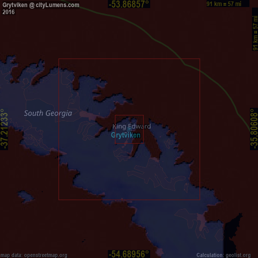
Analysis of Grytviken night lights 2016
Square area 10x10 km:
 0%
0%90-99
0%80-89
0%70-79
0%60-69
0%50-59
0%40-49
0%30-39
0%20-29
0%10-19
0%0-9
100%Square area 50x50 km:
0%90-99
0%80-89
0%70-79
0%60-69
0%50-59
0%40-49
0%30-39
0%20-29
0%10-19
0%0-9
100%Clear (daylight) street map image can be seen on geolist.org.
Map coordinates:
53° 52' 6.9" South, 37° 12' 44.4" West
54° 16' 52" South, 36° 30' 33.1" West
54° 41' 22.4" South, 35° 48' 21.9" West
Some cities around Grytviken sort by population:
• Punta Arenas, CL
2244.5 km =1394.7 mi,  273°
273°
• Río Gallegos, AR
2190.8 km =1361.3 mi,  277°
277°
• Ushuaia, AR
2034.6 km =1264.2 mi, 268°
• Río Grande, AR
2021.5 km =1256.1 mi, 271°
• Caleta Olivia, AR
2343.2 km =1456 mi,  291°
291°
• Puerto Deseado, AR
2161.2 km =1342.9 mi, 289°
• San Julián, AR
2197.2 km =1365.3 mi, 284°
• Stanley, FK
1451.7 km =902 mi, 281°
3426466 (p: 2)
Sources (retrieved 2019-11-25):
» Earth at Night: Flat Maps 2012, 2016