Río Grande night lights from space
Night Light of Río Grande (Tierra del Fuego) from space (Argentina) Src. Average luminocity for 10x10km area is 37.8942% and for 50x50km: 1.7792%.
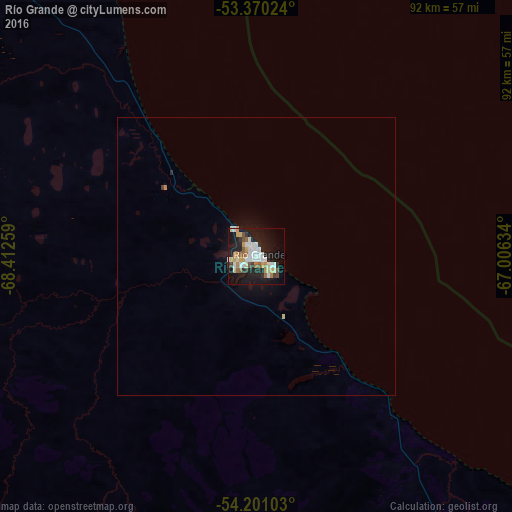
Analysis of Río Grande night lights 2016
Square area 10x10 km:
 6.48%
6.48%90-99
9.39%80-89
3.97%70-79
5.29%60-69
3.57%50-59
3.7%40-49
2.91%30-39
2.51%20-29
10.71%10-19
33.99%0-9
17.46%Square area 50x50 km:
0.25%90-99
0.39%80-89
0.18%70-79
0.24%60-69
0.14%50-59
0.14%40-49
0.11%30-39
0.13%20-29
0.44%10-19
1.81%0-9
96.17%Clear (daylight) street map image can be seen on geolist.org.
Map coordinates:
53° 22' 12.9" South, 68° 24' 45.3" West
53° 47' 15.7" South, 67° 42' 34.1" West
54° 12' 3.7" South, 67° 0' 22.8" West
Some cities around Río Grande sort by population:
• Punta Arenas, CL
223.3 km =138.8 mi,  288°
288°
• Ushuaia
120.4 km =74.8 mi,  199°
199°
• Puerto Natales, CL
395.5 km =245.8 mi,  305°
305°
• Puerto Deseado
683.3 km =424.6 mi,  10°
10°
• El Calafate
494.1 km =307 mi,  320°
320°
• Río Turbio
399.9 km =248.5 mi, 308°
• Yacimiento Río Turbio
398 km =247.3 mi, 308°
• San Julián
498.4 km =309.7 mi,  359°
359°
3838854 (p: 52,681)
Sources (retrieved 2019-11-25):
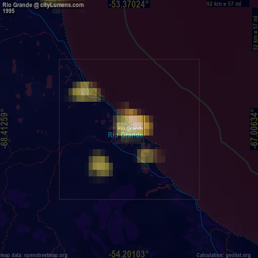
» NASA, Earths city lights 1995
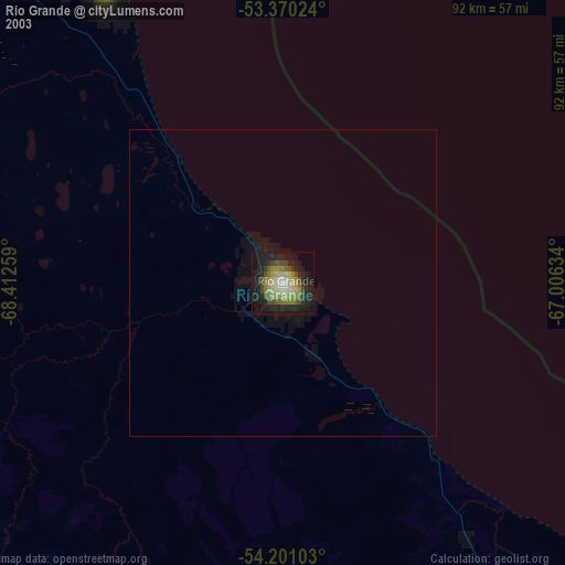
» NASA city lights 2003
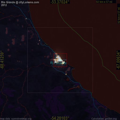
» Earth at Night: Flat Maps 2012, 2016