Ushuaia night lights from space
Night Light of Ushuaia (Tierra del Fuego) from space (Argentina) Src. Average luminocity for 10x10km area is 22.4952% and for 50x50km: 1.0331%.
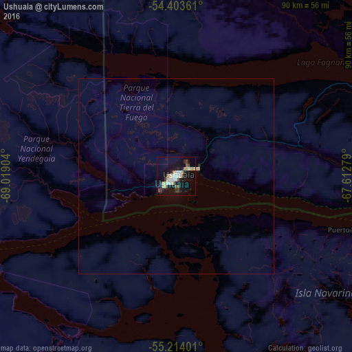
Analysis of Ushuaia night lights 2016
Square area 10x10 km:
 2.99%
2.99%90-99
4.67%80-89
3.47%70-79
2.75%60-69
0.72%50-59
1.2%40-49
3.35%30-39
2.39%20-29
2.99%10-19
26.44%0-9
49.04%Square area 50x50 km:
0.12%90-99
0.19%80-89
0.14%70-79
0.15%60-69
0.03%50-59
0.05%40-49
0.14%30-39
0.11%20-29
0.13%10-19
1.09%0-9
97.84%Clear (daylight) street map image can be seen on geolist.org.
Map coordinates:
54° 24' 13" South, 69° 1' 8.5" West
54° 48' 39" South, 68° 18' 57.3" West
55° 12' 50.4" South, 67° 36' 46" West
Some cities around Ushuaia sort by population:
• Punta Arenas, CL
250.4 km =155.6 mi,  317°
317°
• Río Gallegos
359.5 km =223.4 mi,  350°
350°
• Río Grande
120.4 km =74.8 mi,  19°
19°
• Puerto Natales, CL
441.4 km =274.3 mi, 320°
• El Calafate
564.3 km =350.6 mi,  331°
331°
• Río Turbio
452 km =280.9 mi, 323°
• Yacimiento Río Turbio
449.1 km =279.1 mi, 323°
• San Julián
613.4 km =381.1 mi,  3°
3°
3833367 (p: 58,028)
Sources (retrieved 2019-11-25):
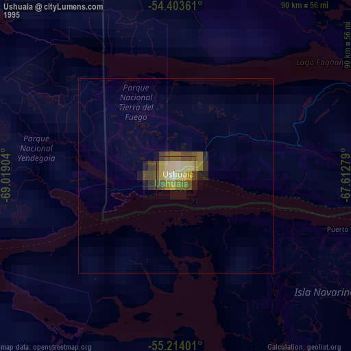
» NASA, Earths city lights 1995
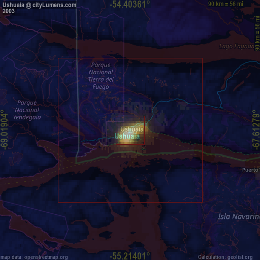
» NASA city lights 2003
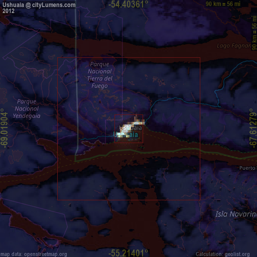
» Earth at Night: Flat Maps 2012, 2016