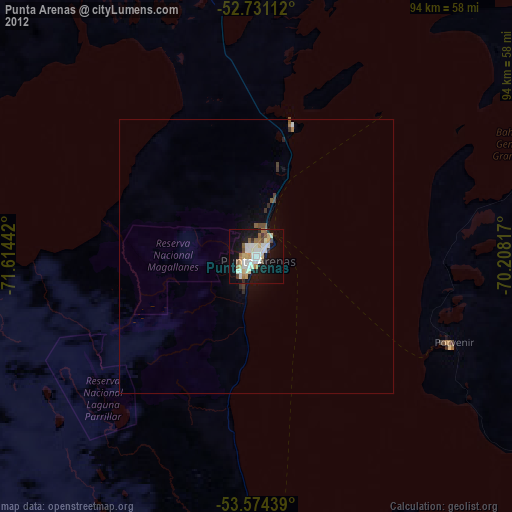
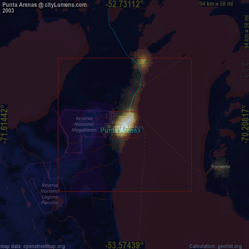
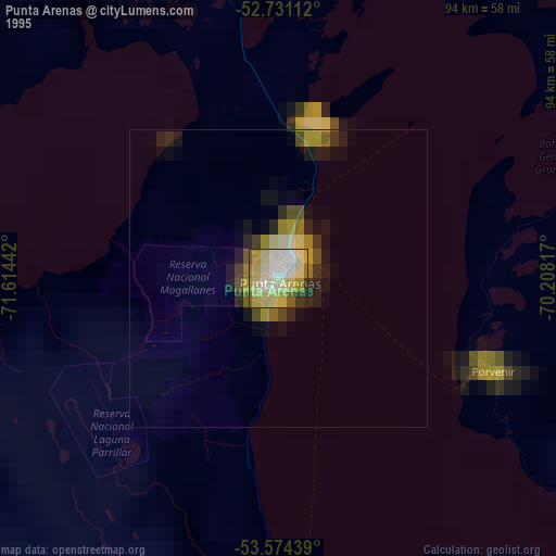
Punta Arenas night lights from space
Night Light of Punta Arenas (Region of Magallanes) from space (Chile) Src. Average luminocity for 10x10km area is 36.4015% and for 50x50km: 1.8673%.

Analysis of Punta Arenas night lights 2016
Square area 10x10 km:
 6.82%
6.82%90-99
12.63%80-89
1.26%70-79
4.17%60-69
3.91%50-59
2.15%40-49
1.39%30-39
2.02%20-29
11.49%10-19
31.31%0-9
22.85%Square area 50x50 km:
0.29%90-99
0.54%80-89
0.06%70-79
0.17%60-69
0.18%50-59
0.17%40-49
0.11%30-39
0.21%20-29
0.55%10-19
1.83%0-9
95.91%Clear (daylight) street map image can be seen on geolist.org.
Map coordinates:
52° 43' 52" South, 71° 36' 51.9" West
53° 9' 17.4" South, 70° 54' 40.6" West
53° 34' 27.8" South, 70° 12' 29.4" West
Some cities around Punta Arenas sort by population:
• Río Gallegos, AR
205.5 km =127.7 mi,  33°
33°
• Ushuaia, AR
250.4 km =155.6 mi,  137°
137°
• Río Grande, AR
223.3 km =138.8 mi,  108°
108°
• Puerto Natales
191.8 km =119.2 mi,  325°
325°
• El Calafate, AR
326.7 km =203 mi,  343°
343°
• Río Turbio, AR
204.4 km =127 mi, 331°
• Yacimiento Río Turbio, AR
201.2 km =125 mi, 330°
• San Julián, AR
481.9 km =299.4 mi, 27°
3874787 (p: 117,430)
Sources (retrieved 2019-11-25):
» NASA, Earths city lights 1995
» NASA city lights 2003
» Earth at Night: Flat Maps 2012, 2016