Pylaía night lights from space
Night Light of Pylaía (Central Macedonia) from space (Greece) Src. Average luminocity for 10x10km area is 78.6705% and for 50x50km: 21.1883%.
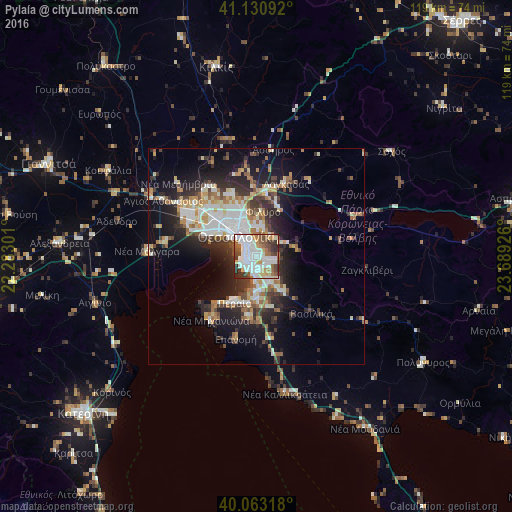
Analysis of Pylaía night lights 2016
Square area 10x10 km:
 28.9%
28.9%90-99
25.16%80-89
5.68%70-79
5.52%60-69
8.44%50-59
6.98%40-49
7.95%30-39
7.95%20-29
3.41%10-19
0%0-9
0%Square area 50x50 km:
3.99%90-99
4.49%80-89
2.07%70-79
2.26%60-69
2.89%50-59
2.15%40-49
2.47%30-39
3.73%20-29
6%10-19
11.01%0-9
58.95%Clear (daylight) street map image can be seen on geolist.org.
Map coordinates:
41° 7' 51.3" North, 22° 16' 58.8" East
40° 35' 57" North, 22° 59' 10.1" East
40° 3' 47.4" North, 23° 41' 21.3" East
Some cities around Pylaía sort by population:
• Thessaloníki
6.8 km =4.2 mi,  316°
316°
• Kalamariá
3.5 km =2.2 mi,  238°
238°
• Sykiés
6.3 km =3.9 mi,  331°
331°
• Panórama
4 km =2.5 mi,  108°
108°
• Thérmi
6.4 km =4 mi,  153°
153°
• Triandría
1.9 km =1.2 mi, 334°
• Ágios Pávlos
5.1 km =3.2 mi, 334°
• Asvestochóri
5.7 km =3.5 mi,  35°
35°
734643 (p: 23,494)
Sources (retrieved 2019-11-25):
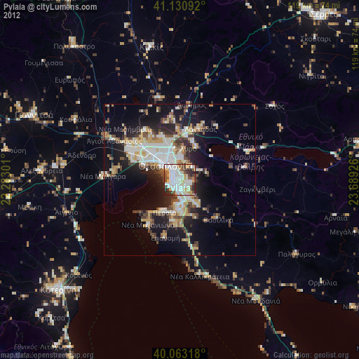
» Earth at Night: Flat Maps 2012, 2016