Sykiés night lights from space
Night Light of Sykiés (Central Macedonia) from space (Greece) Src. Average luminocity for 10x10km area is 83.4513% and for 50x50km: 21.3936%.
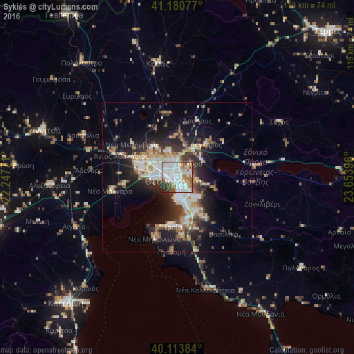
Analysis of Sykiés night lights 2016
Square area 10x10 km:
 38.47%
90-99
24.19%80-89
3.41%70-79
5.36%60-69
9.58%50-59
6.49%40-49
6.17%30-39
3.73%20-29
2.6%10-19
0%0-9
0%Square area 50x50 km:
4.01%90-99
4.5%80-89
2.07%70-79
2.36%60-69
2.87%50-59
2.18%40-49
2.43%30-39
3.84%20-29
6.12%10-19
10.77%0-9
58.85%Clear (daylight) street map image can be seen on geolist.org.
Map coordinates:
41° 10' 50.8" North, 22° 14' 51.8" East
40° 38' 58" North, 22° 57' 3" East
40° 6' 49.8" North, 23° 39' 14.3" East
Some cities around Sykiés sort by population:
• Thessaloníki
1.8 km =1.1 mi,  248°
248°
• Políchni
1.9 km =1.2 mi,  354°
354°
• Neapoli
0.9 km =0.6 mi,  298°
298°
• Pylaía
6.3 km =3.9 mi,  151°
151°
• Meneméni
4.6 km =2.9 mi,  282°
282°
• Triandría
4.4 km =2.7 mi, 150°
• Ágios Pávlos
1.3 km =0.8 mi,  140°
140°
• Asvestochóri
6.3 km =3.9 mi,  98°
98°
734301 (p: 44,955)
Sources (retrieved 2019-11-25):
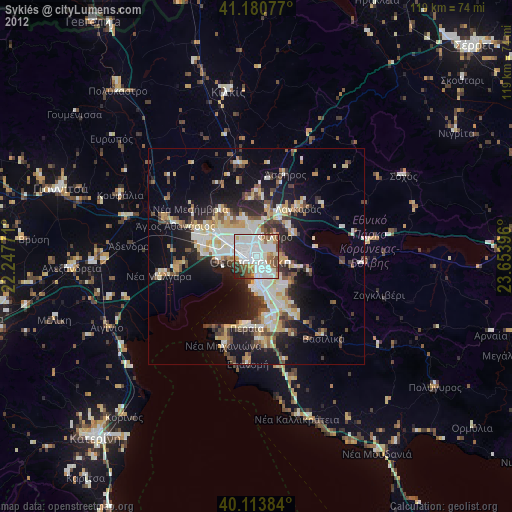
» Earth at Night: Flat Maps 2012, 2016