Kalamariá night lights from space
Night Light of Kalamariá (Central Macedonia) from space (Greece) Src. Average luminocity for 10x10km area is 60.5601% and for 50x50km: 21.0379%.
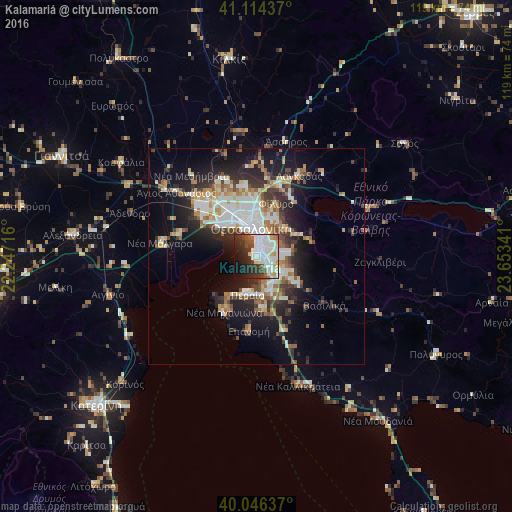
Analysis of Kalamariá night lights 2016
Square area 10x10 km:
 21.1%
21.1%90-99
18.02%80-89
4.87%70-79
2.44%60-69
3.25%50-59
3.9%40-49
6.17%30-39
10.71%20-29
14.12%10-19
12.99%0-9
2.44%Square area 50x50 km:
3.99%90-99
4.45%80-89
2.03%70-79
2.27%60-69
2.77%50-59
2.03%40-49
2.45%30-39
3.76%20-29
6.07%10-19
10.99%0-9
59.18%Clear (daylight) street map image can be seen on geolist.org.
Map coordinates:
41° 6' 51.7" North, 22° 14' 49.8" East
40° 34' 57" North, 22° 57' 1" East
40° 2' 46.9" North, 23° 39' 12.3" East
Some cities around Kalamariá sort by population:
• Thessaloníki
7 km =4.3 mi,  346°
346°
• Sykiés
7.4 km =4.6 mi,  0°
0°
• Neapoli
7.9 km =4.9 mi, 354°
• Pylaía
3.5 km =2.2 mi,  58°
58°
• Panórama
6.9 km =4.3 mi,  85°
85°
• Thérmi
7.1 km =4.4 mi,  123°
123°
• Triandría
4.2 km =2.6 mi,  31°
31°
• Ágios Pávlos
6.5 km =4 mi,  7°
7°
736083 (p: 91,617)
Sources (retrieved 2019-11-25):
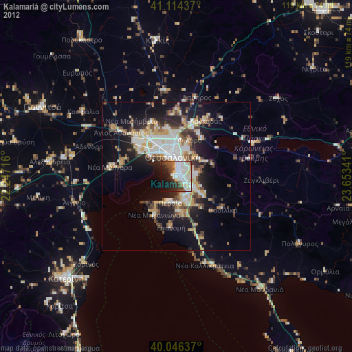
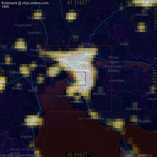
» NASA, Earths city lights 1995
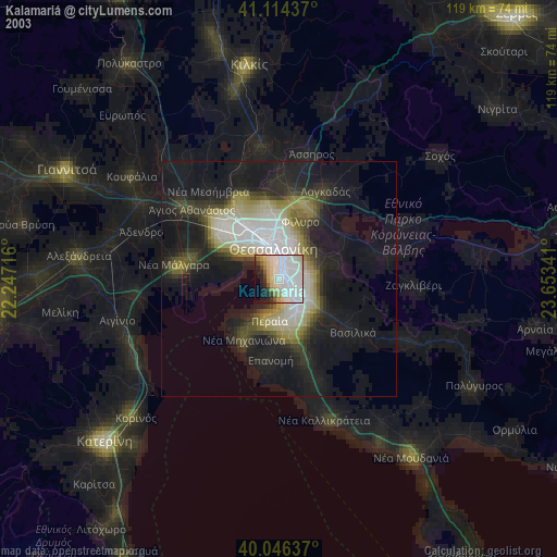
» NASA city lights 2003
» Earth at Night: Flat Maps 2012, 2016