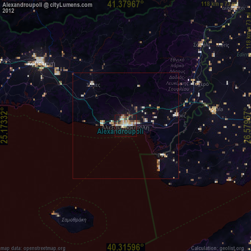
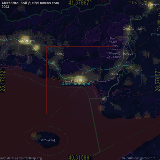
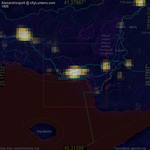
Alexandroupoli night lights from space
Night Light of Alexandroupoli (East Macedonia and Thrace) from space (Greece) Src. Average luminocity for 10x10km area is 33.0935% and for 50x50km: 3.2425%.
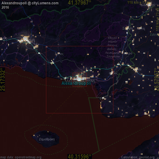
Analysis of Alexandroupoli night lights 2016
Square area 10x10 km:
 6.29%
6.29%90-99
10.54%80-89
0.85%70-79
1.53%60-69
2.21%50-59
4.93%40-49
2.04%30-39
3.4%20-29
4.76%10-19
45.07%0-9
18.37%Square area 50x50 km:
0.34%90-99
0.68%80-89
0.25%70-79
0.28%60-69
0.34%50-59
0.47%40-49
0.49%30-39
0.36%20-29
0.55%10-19
2.61%0-9
93.63%Clear (daylight) street map image can be seen on geolist.org.
Map coordinates:
41° 22' 46.8" North, 25° 10' 24" East
40° 50' 59.8" North, 25° 52' 35.2" East
40° 18' 57.5" North, 26° 34' 46.5" East
Some cities around Alexandroupoli sort by population:
• Komotiní
49.6 km =30.8 mi,  307°
307°
• Keşan, TR
63.4 km =39.4 mi,  89°
89°
• Uzunköprü, TR
82.3 km =51.1 mi,  55°
55°
• Didymóteicho
75.9 km =47.2 mi,  43°
43°
• İpsala, TR
43.3 km =26.9 mi,  79°
79°
• Gökçeada, TR
72.2 km =44.9 mi,  177°
177°
• Féres
25.3 km =15.7 mi, 79°
• Krumovgrad, BG
71.5 km =44.4 mi,  344°
344°
736928 (p: 52,979)
Sources (retrieved 2019-11-25):
» NASA, Earths city lights 1995
» NASA city lights 2003
» Earth at Night: Flat Maps 2012, 2016