Kozáni night lights from space
Night Light of Kozáni (West Macedonia) from space (Greece) Src. Average luminocity for 10x10km area is 39.4048% and for 50x50km: 6.2567%.
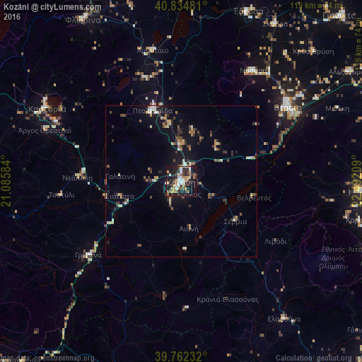
Analysis of Kozáni night lights 2016
Square area 10x10 km:
 4.25%
4.25%90-99
7.14%80-89
4.08%70-79
6.63%60-69
6.12%50-59
4.25%40-49
3.91%30-39
10.2%20-29
11.22%10-19
36.73%0-9
5.44%Square area 50x50 km:
0.4%90-99
0.9%80-89
0.8%70-79
0.74%60-69
0.78%50-59
0.77%40-49
0.9%30-39
1.44%20-29
1.22%10-19
5.33%0-9
86.71%Clear (daylight) street map image can be seen on geolist.org.
Map coordinates:
40° 50' 5.3" North, 21° 5' 9" East
40° 18' 2.5" North, 21° 47' 20.3" East
39° 45' 44.4" North, 22° 29' 31.5" East
Some cities around Kozáni sort by population:
• Véroia
42.9 km =26.7 mi,  54°
54°
• Ptolemaḯda
25.6 km =15.9 mi,  338°
338°
• Náousa
43.5 km =27 mi,  32°
32°
• Kastoria
50.8 km =31.6 mi,  298°
298°
• Grevená
39 km =24.2 mi,  231°
231°
• Argos Orestiko
48 km =29.8 mi,  290°
290°
• Elassóna
56.5 km =35.1 mi,  143°
143°
• Siátista
21.2 km =13.2 mi,  258°
258°
735563 (p: 36,481)
Sources (retrieved 2019-11-25):
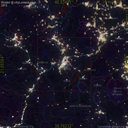
» Earth at Night: Flat Maps 2012, 2016