Véroia night lights from space
Night Light of Véroia (Central Macedonia) from space (Greece) Src. Average luminocity for 10x10km area is 46.2092% and for 50x50km: 8.3034%.
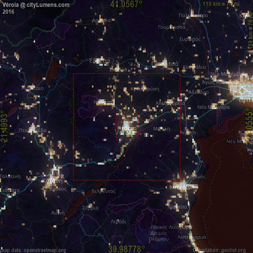
Analysis of Véroia night lights 2016
Square area 10x10 km:
 6.8%
6.8%90-99
12.41%80-89
4.93%70-79
2.04%60-69
11.22%50-59
4.08%40-49
3.4%30-39
7.31%20-29
18.54%10-19
26.36%0-9
2.89%Square area 50x50 km:
0.45%90-99
1.31%80-89
0.77%70-79
0.81%60-69
1.2%50-59
1.08%40-49
1.2%30-39
1.6%20-29
1.83%10-19
6.56%0-9
83.19%Clear (daylight) street map image can be seen on geolist.org.
Map coordinates:
41° 3' 24.1" North, 21° 29' 57.5" East
40° 31' 27.7" North, 22° 12' 8.7" East
39° 59' 16" North, 22° 54' 20" East
Some cities around Véroia sort by population:
• Kateríni
38.3 km =23.8 mi,  137°
137°
• Kozáni
42.9 km =26.7 mi,  234°
234°
• Giannitsá
34.4 km =21.4 mi,  30°
30°
• Náousa
16.3 km =10.1 mi,  315°
315°
• Édessa
33.6 km =20.9 mi,  337°
337°
• Alexándreia
23.4 km =14.5 mi,  60°
60°
• Koufália
42 km =26.1 mi,  47°
47°
• Krýa Vrýsi
20.1 km =12.5 mi, 25°
733905 (p: 44,464)
Sources (retrieved 2019-11-25):
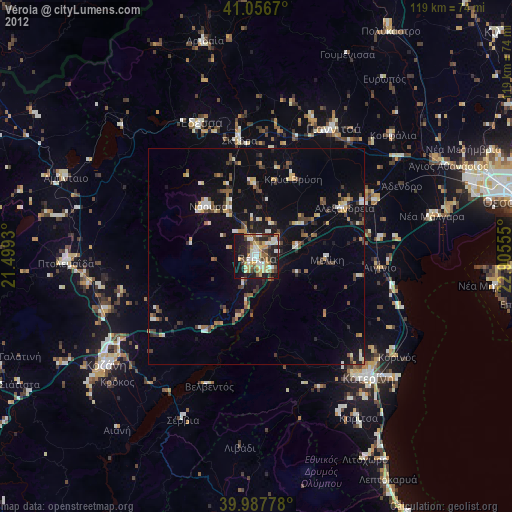
» Earth at Night: Flat Maps 2012, 2016