Keratsíni night lights from space
Night Light of Keratsíni (Attica) from space (Greece) Src. Average luminocity for 10x10km area is 81.7679% and for 50x50km: 42.0171%.
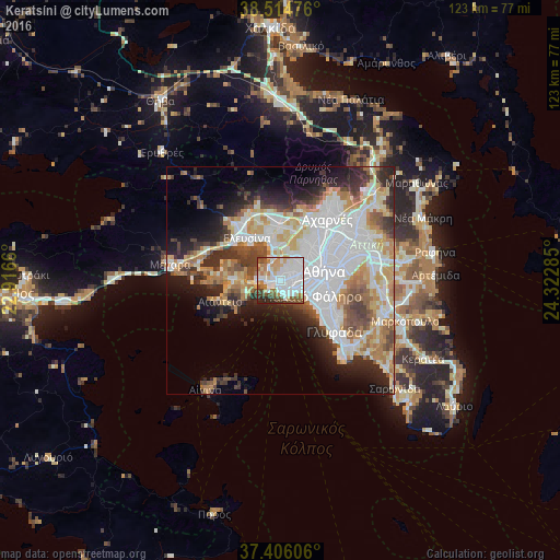
Analysis of Keratsíni night lights 2016
Square area 10x10 km:
 31.33%
90-99
24.68%80-89
7.63%70-79
8.28%60-69
7.79%50-59
6.33%40-49
7.31%30-39
3.08%20-29
3.57%10-19
0%0-9
0%Square area 50x50 km:
12.9%90-99
9.31%80-89
4.33%70-79
5.33%60-69
5.55%50-59
3.54%40-49
4.27%30-39
4.68%20-29
7%10-19
8.32%0-9
34.79%Clear (daylight) street map image can be seen on geolist.org.
Map coordinates:
38° 30' 53.1" North, 22° 54' 59.8" East
37° 57' 45" North, 23° 37' 11" East
37° 24' 21.8" North, 24° 19' 22.3" East
Some cities around Keratsíni sort by population:
• Piraeus
3.3 km =2.1 mi,  134°
134°
• Níkaia
2.7 km =1.7 mi,  80°
80°
• Korydallós
3.4 km =2.1 mi,  44°
44°
• Agía Varvára
4.6 km =2.9 mi,  49°
49°
• Moskháton
5.4 km =3.4 mi,  107°
107°
• Pérama
4.2 km =2.6 mi,  277°
277°
• Agios Ioannis Rentis
4 km =2.5 mi,  86°
86°
• Drapetsóna
1.4 km =0.9 mi,  168°
168°
260204 (p: 77,077)
Sources (retrieved 2019-11-25):
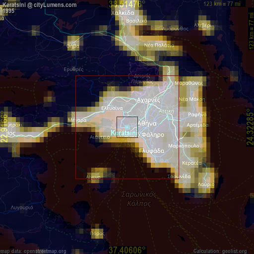
» NASA, Earths city lights 1995
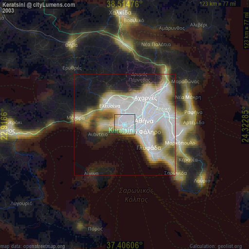
» NASA city lights 2003
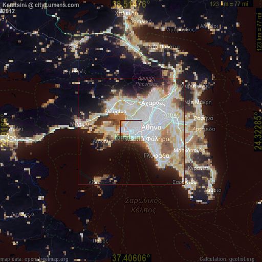
» Earth at Night: Flat Maps 2012, 2016