Agios Ioannis Rentis night lights from space
Night Light of Agios Ioannis Rentis (Attica) from space (Greece) Src. Average luminocity for 10x10km area is 93.5032% and for 50x50km: 45.5588%.
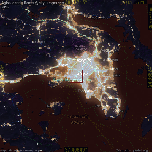
Analysis of Agios Ioannis Rentis night lights 2016
Square area 10x10 km:
 57.63%
90-99
25.32%80-89
3.08%70-79
5.19%60-69
2.11%50-59
2.92%40-49
2.6%30-39
1.14%20-29
0%10-19
0%0-9
0%Square area 50x50 km:
13.29%90-99
10.21%80-89
4.75%70-79
5.91%60-69
6.24%50-59
4.2%40-49
4.63%30-39
5.4%20-29
8.64%10-19
8.06%0-9
28.68%Clear (daylight) street map image can be seen on geolist.org.
Map coordinates:
38° 31' 1.7" North, 22° 57' 43.2" East
37° 57' 53.7" North, 23° 39' 54.4" East
37° 24' 30.6" North, 24° 22' 5.7" East
Some cities around Agios Ioannis Rentis sort by population:
• Piraeus
3 km =1.9 mi,  213°
213°
• Kallithéa
3.5 km =2.2 mi,  118°
118°
• Níkaia
1.3 km =0.8 mi,  278°
278°
• Aigáleo
2.6 km =1.6 mi,  37°
37°
• Korydallós
2.7 km =1.7 mi,  324°
324°
• Agía Varvára
2.8 km =1.7 mi,  350°
350°
• Moskháton
2.2 km =1.4 mi,  147°
147°
• Távros
2.3 km =1.4 mi,  73°
73°
8478257 (p: 16,050)
Sources (retrieved 2019-11-25):
» Earth at Night: Flat Maps 2012, 2016