Moskháton night lights from space
Night Light of Moskháton (Attica) from space (Greece) Src. Average luminocity for 10x10km area is 88.1023% and for 50x50km: 46.4412%.
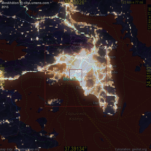
Analysis of Moskháton night lights 2016
Square area 10x10 km:
 55.52%
90-99
22.4%80-89
1.46%70-79
0.97%60-69
2.44%50-59
4.87%40-49
5.03%30-39
2.76%20-29
4.06%10-19
0.49%0-9
0%Square area 50x50 km:
13.38%90-99
10.56%80-89
4.97%70-79
6.07%60-69
6.34%50-59
4.5%40-49
4.7%30-39
5.56%20-29
8.47%10-19
7.37%0-9
28.07%Clear (daylight) street map image can be seen on geolist.org.
Map coordinates:
38° 30' 0.9" North, 22° 58' 32.4" East
37° 56' 52.4" North, 23° 40' 43.7" East
37° 23' 28.8" North, 24° 22' 54.9" East
Some cities around Moskháton sort by population:
• Piraeus
2.9 km =1.8 mi,  257°
257°
• Kallithéa
1.9 km =1.2 mi,  82°
82°
• Níkaia
3.3 km =2.1 mi,  309°
309°
• Néa Smýrni
3.1 km =1.9 mi,  95°
95°
• Aigáleo
4 km =2.5 mi,  5°
5°
• Palaió Fáliro
2.9 km =1.8 mi,  138°
138°
• Agios Ioannis Rentis
2.2 km =1.4 mi,  327°
327°
• Távros
2.7 km =1.7 mi,  21°
21°
256750 (p: 25,441)
Sources (retrieved 2019-11-25):
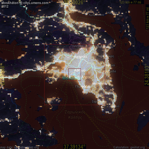
» Earth at Night: Flat Maps 2012, 2016