Kardítsa night lights from space
Night Light of Kardítsa (Thessaly) from space (Greece) Src. Average luminocity for 10x10km area is 35.1378% and for 50x50km: 8.777%.
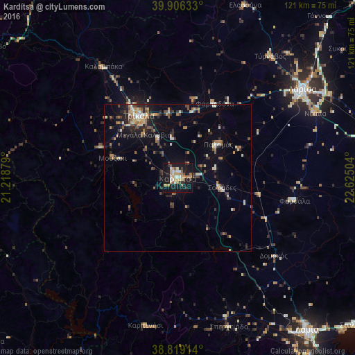
Analysis of Kardítsa night lights 2016
Square area 10x10 km:
 2.72%
2.72%90-99
6.8%80-89
4.76%70-79
7.31%60-69
5.1%50-59
3.91%40-49
2.72%30-39
3.06%20-29
4.08%10-19
50.34%0-9
9.18%Square area 50x50 km:
0.36%90-99
1.45%80-89
0.95%70-79
0.97%60-69
1.6%50-59
0.99%40-49
1.13%30-39
1.56%20-29
2.18%10-19
5.84%0-9
82.97%Clear (daylight) street map image can be seen on geolist.org.
Map coordinates:
39° 54' 22.8" North, 21° 13' 7.6" East
39° 21' 53.5" North, 21° 55' 18.9" East
38° 49' 8.9" North, 22° 37' 30.1" East
Some cities around Kardítsa sort by population:
• Lárisa
52.2 km =32.4 mi,  54°
54°
• Tríkala
24.9 km =15.5 mi,  328°
328°
• Týrnavos
52.1 km =32.4 mi,  37°
37°
• Fársala
40.6 km =25.2 mi,  101°
101°
• Kalampáka
45.4 km =28.2 mi, 326°
• Giánnouli
52.8 km =32.8 mi, 50°
• Karpenísi
51.4 km =31.9 mi,  191°
191°
• Palamás
17.9 km =11.1 mi, 50°
260989 (p: 32,789)
Sources (retrieved 2019-11-25):
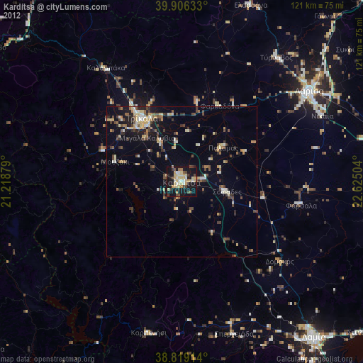
» Earth at Night: Flat Maps 2012, 2016