Ágioi Anárgyroi night lights from space
Night Light of Ágioi Anárgyroi (Attica) from space (Greece) Src. Average luminocity for 10x10km area is 98.9903% and for 50x50km: 49.0443%.
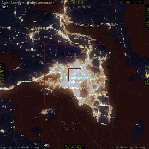
Analysis of Ágioi Anárgyroi night lights 2016
Square area 10x10 km:
 83.77%
90-99
12.34%80-89
2.44%70-79
1.46%60-69
0%50-59
0%40-49
0%30-39
0%20-29
0%10-19
0%0-9
0%Square area 50x50 km:
13.42%90-99
11.1%80-89
5.09%70-79
6.8%60-69
7.43%50-59
4.94%40-49
5.32%30-39
5.5%20-29
8.94%10-19
8.06%0-9
23.41%Clear (daylight) street map image can be seen on geolist.org.
Map coordinates:
38° 34' 54.8" North, 23° 1' 14.4" East
38° 1' 48.5" North, 23° 43' 25.6" East
37° 28' 27.1" North, 24° 25' 36.9" East
Some cities around Ágioi Anárgyroi sort by population:
• Peristéri
3.2 km =2 mi,  239°
239°
• Ílion
2.1 km =1.3 mi,  279°
279°
• Néa Ionía
3 km =1.9 mi,  78°
78°
• Galátsi
2.7 km =1.7 mi,  123°
123°
• Petroúpolis
3.6 km =2.2 mi,  290°
290°
• Kamaterón
3.3 km =2.1 mi,  330°
330°
• Néa Filadélfeia
1.4 km =0.9 mi,  67°
67°
• Néa Chalkidóna
0.7 km =0.4 mi, 119°
8358563 (p: 34,168)
Sources (retrieved 2019-11-25):
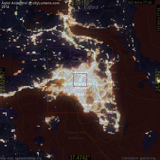
» Earth at Night: Flat Maps 2012, 2016