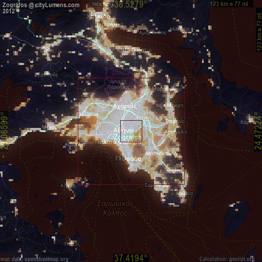
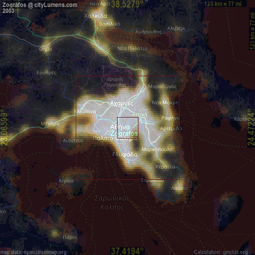
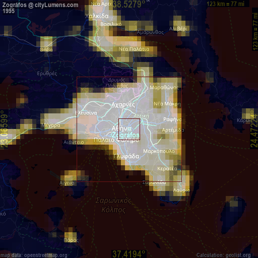
Zográfos night lights from space
Night Light of Zográfos (Attica) from space (Greece) Src. Average luminocity for 10x10km area is 91.237% and for 50x50km: 49.4001%.

Analysis of Zográfos night lights 2016
Square area 10x10 km:
 60.39%
90-99
15.58%80-89
2.11%70-79
6.98%60-69
6.98%50-59
5.36%40-49
2.6%30-39
0%20-29
0%10-19
0%0-9
0%Square area 50x50 km:
13.47%90-99
11.12%80-89
5.19%70-79
6.71%60-69
7.22%50-59
4.77%40-49
5.21%30-39
5.53%20-29
10.39%10-19
9.84%0-9
20.55%Clear (daylight) street map image can be seen on geolist.org.
Map coordinates:
38° 31' 40.4" North, 23° 3' 57.6" East
37° 58' 32.7" North, 23° 46' 8.8" East
37° 25' 9.8" North, 24° 28' 20.1" East
Some cities around Zográfos sort by population:
• Athens
3.7 km =2.3 mi,  283°
283°
• Výronas
2.2 km =1.4 mi,  220°
220°
• Cholargós
3.8 km =2.4 mi,  45°
45°
• Kaisarianí
1.4 km =0.9 mi,  193°
193°
• Papágou
2.4 km =1.5 mi,  60°
60°
• Ymittos
3 km =1.9 mi, 215°
• Néo Psychikó
3.6 km =2.2 mi,  20°
20°
• Psychikó
4.2 km =2.6 mi,  3°
3°
8358544 (p: 71,026)
Sources (retrieved 2019-11-25):
» NASA, Earths city lights 1995
» NASA city lights 2003
» Earth at Night: Flat Maps 2012, 2016