Chaïdári night lights from space
Night Light of Chaïdári (Attica) from space (Greece) Src. Average luminocity for 10x10km area is 94.9058% and for 50x50km: 45.6456%.
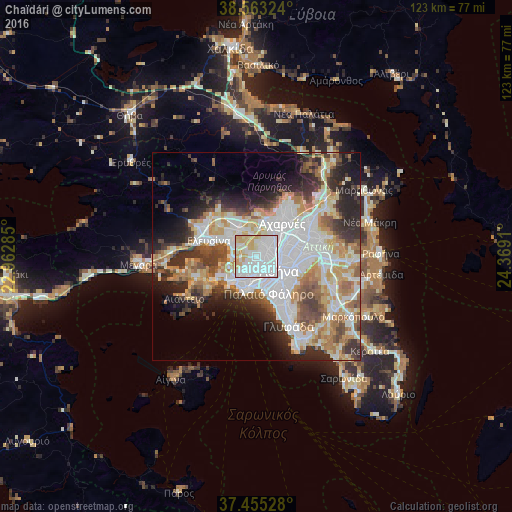
Analysis of Chaïdári night lights 2016
Square area 10x10 km:
 55.84%
90-99
21.92%80-89
10.23%70-79
12.01%60-69
0%50-59
0%40-49
0%30-39
0%20-29
0%10-19
0%0-9
0%Square area 50x50 km:
13.29%90-99
10.26%80-89
4.74%70-79
5.94%60-69
6.16%50-59
4.35%40-49
4.7%30-39
5.4%20-29
8.44%10-19
8.02%0-9
28.7%Clear (daylight) street map image can be seen on geolist.org.
Map coordinates:
38° 33' 47.7" North, 22° 57' 46.3" East
38° 0' 40.9" North, 23° 39' 57.5" East
37° 27' 19" North, 24° 22' 8.8" East
Some cities around Chaïdári sort by population:
• Peristéri
2.3 km =1.4 mi,  78°
78°
• Ílion
3.9 km =2.4 mi,  50°
50°
• Aigáleo
3.5 km =2.2 mi,  153°
153°
• Korydallós
3.4 km =2.1 mi,  209°
209°
• Petroúpolis
3.8 km =2.4 mi,  26°
26°
• Agía Varvára
2.5 km =1.6 mi,  191°
191°
• Agios Ioannis Rentis
5.2 km =3.2 mi,  180°
180°
• Távros
5 km =3.1 mi, 154°
260183 (p: 45,642)
Sources (retrieved 2019-11-25):
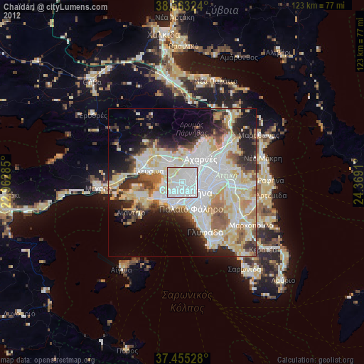
» Earth at Night: Flat Maps 2012, 2016