Argyroúpoli night lights from space
Night Light of Argyroúpoli (Attica) from space (Greece) Src. Average luminocity for 10x10km area is 76.8847% and for 50x50km: 47.993%.
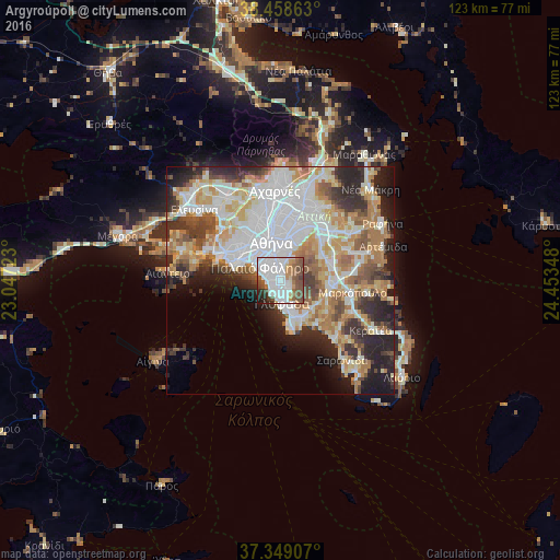
Analysis of Argyroúpoli night lights 2016
Square area 10x10 km:
 30.36%
90-99
22.89%80-89
2.11%70-79
5.19%60-69
6.49%50-59
13.31%40-49
10.71%30-39
3.9%20-29
4.22%10-19
0.81%0-9
0%Square area 50x50 km:
13.62%90-99
10.83%80-89
5.09%70-79
6.73%60-69
7.27%50-59
4.64%40-49
4.85%30-39
5.07%20-29
8.91%10-19
7.54%0-9
25.46%Clear (daylight) street map image can be seen on geolist.org.
Map coordinates:
38° 27' 31.1" North, 23° 2' 50" East
37° 54' 21.4" North, 23° 45' 1.3" East
37° 20' 56.7" North, 24° 27' 12.5" East
Some cities around Argyroúpoli sort by population:
• Glyfáda
4.8 km =3 mi,  171°
171°
• Ilioúpoli
3.2 km =2 mi,  28°
28°
• Agios Dimitrios
3.4 km =2.1 mi,  333°
333°
• Palaió Fáliro
5 km =3.1 mi,  299°
299°
• Álimos
2.4 km =1.5 mi,  281°
281°
• Dhafní
5.1 km =3.2 mi,  344°
344°
• Ellinikó
1.8 km =1.1 mi,  197°
197°
• Ymittos
5.3 km =3.3 mi,  358°
358°
264516 (p: 34,097)
Sources (retrieved 2019-11-25):
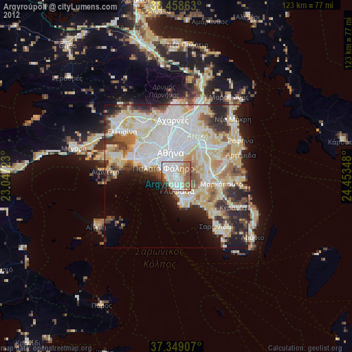
» Earth at Night: Flat Maps 2012, 2016