Agios Dimitrios night lights from space
Night Light of Agios Dimitrios (Attica) from space (Greece) Src. Average luminocity for 10x10km area is 89.1299% and for 50x50km: 49.2185%.
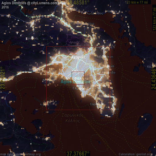
Analysis of Agios Dimitrios night lights 2016
Square area 10x10 km:
 48.7%
48.7%90-99
25.32%80-89
2.27%70-79
5.52%60-69
5.84%50-59
6.82%40-49
3.25%30-39
0.97%20-29
1.3%10-19
0%0-9
0%Square area 50x50 km:
13.51%90-99
11.08%80-89
5.36%70-79
6.87%60-69
7.55%50-59
4.7%40-49
5.13%30-39
5.52%20-29
9.79%10-19
7.29%0-9
23.2%Clear (daylight) street map image can be seen on geolist.org.
Map coordinates:
38° 29' 8.9" North, 23° 1' 48.8" East
37° 55' 60" North, 23° 43' 60" East
37° 22' 36" North, 24° 26' 11.3" East
Some cities around Agios Dimitrios sort by population:
• Ilioúpoli
3 km =1.9 mi,  93°
93°
• Néa Smýrni
2.1 km =1.3 mi,  307°
307°
• Palaió Fáliro
2.9 km =1.8 mi,  258°
258°
• Výronas
3.5 km =2.2 mi,  29°
29°
• Álimos
2.7 km =1.7 mi,  198°
198°
• Argyroúpoli
3.4 km =2.1 mi,  153°
153°
• Dhafní
1.9 km =1.2 mi,  2°
2°
• Ymittos
2.6 km =1.6 mi, 31°
263986 (p: 71,294)
Sources (retrieved 2019-11-25):
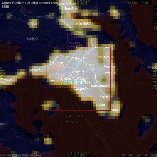
» NASA, Earths city lights 1995
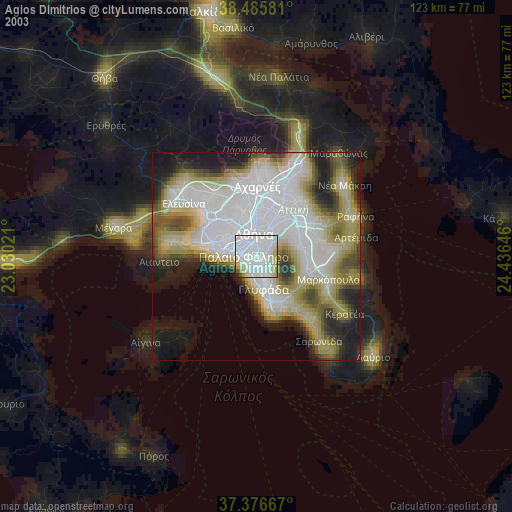
» NASA city lights 2003
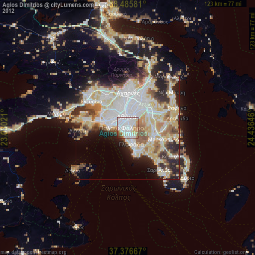
» Earth at Night: Flat Maps 2012, 2016