Dhafní night lights from space
Night Light of Dhafní (Attica) from space (Greece) Src. Average luminocity for 10x10km area is 93.2029% and for 50x50km: 49.5337%.
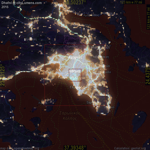
Analysis of Dhafní night lights 2016
Square area 10x10 km:
 59.74%
90-99
21.43%80-89
2.6%70-79
4.87%60-69
4.87%50-59
6.17%40-49
0.32%30-39
0%20-29
0%10-19
0%0-9
0%Square area 50x50 km:
13.47%90-99
11.1%80-89
5.38%70-79
6.84%60-69
7.51%50-59
4.7%40-49
5.25%30-39
5.69%20-29
10.35%10-19
7.96%0-9
21.73%Clear (daylight) street map image can be seen on geolist.org.
Map coordinates:
38° 30' 8.5" North, 23° 1' 52.5" East
37° 57' 0.1" North, 23° 44' 3.7" East
37° 23' 36.5" North, 24° 26' 15" East
Some cities around Dhafní sort by population:
• Kallithéa
3 km =1.9 mi,  269°
269°
• Ilioúpoli
3.6 km =2.2 mi,  125°
125°
• Néa Smýrni
1.9 km =1.2 mi,  252°
252°
• Agios Dimitrios
1.9 km =1.2 mi,  182°
182°
• Palaió Fáliro
3.8 km =2.4 mi,  230°
230°
• Výronas
2 km =1.2 mi,  53°
53°
• Kaisarianí
3.1 km =1.9 mi,  61°
61°
• Ymittos
1.3 km =0.8 mi,  73°
73°
263312 (p: 22,913)
Sources (retrieved 2019-11-25):
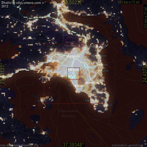
» Earth at Night: Flat Maps 2012, 2016