Argostólion night lights from space
Night Light of Argostólion (Ionian Islands) from space (Greece) Src. Average luminocity for 10x10km area is 15.1122% and for 50x50km: 1.0757%.
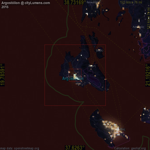
Analysis of Argostólion night lights 2016
Square area 10x10 km:
 1.19%
1.19%90-99
3.91%80-89
2.38%70-79
2.38%60-69
0.34%50-59
0.85%40-49
1.19%30-39
3.74%20-29
0.68%10-19
3.74%0-9
79.59%Square area 50x50 km:
0.05%90-99
0.23%80-89
0.14%70-79
0.09%60-69
0.11%50-59
0.04%40-49
0.18%30-39
0.35%20-29
0.24%10-19
0.26%0-9
98.31%Clear (daylight) street map image can be seen on geolist.org.
Map coordinates:
38° 43' 54.1" North, 19° 47' 9.3" East
38° 10' 51.9" North, 20° 29' 20.5" East
37° 37' 34.7" North, 21° 11' 31.8" East
Some cities around Argostólion sort by population:
• Agrínio
93.8 km =58.3 mi,  58°
58°
• Préveza
89.1 km =55.4 mi,  14°
14°
• Amaliáda
86.7 km =53.9 mi,  119°
119°
• Mesolóngi
84.9 km =52.8 mi,  75°
75°
• Zakynthos
57.1 km =35.5 mi,  141°
141°
• Lefkáda
74.6 km =46.4 mi, 14°
• Gastoúni
76.2 km =47.3 mi, 118°
• Káto Achaḯa
92.8 km =57.7 mi,  92°
92°
264668 (p: 9,820)
Sources (retrieved 2019-11-25):
» Earth at Night: Flat Maps 2012, 2016